The Chronicles Of Shasta
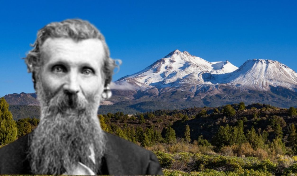
Famed naturalist John Muir once said, “When I first caught sight of Mount Shasta, my blood turned to wine”. This is about California’s famous mountain that grew stories just as naturally as it grew ice.
A Towering Giant
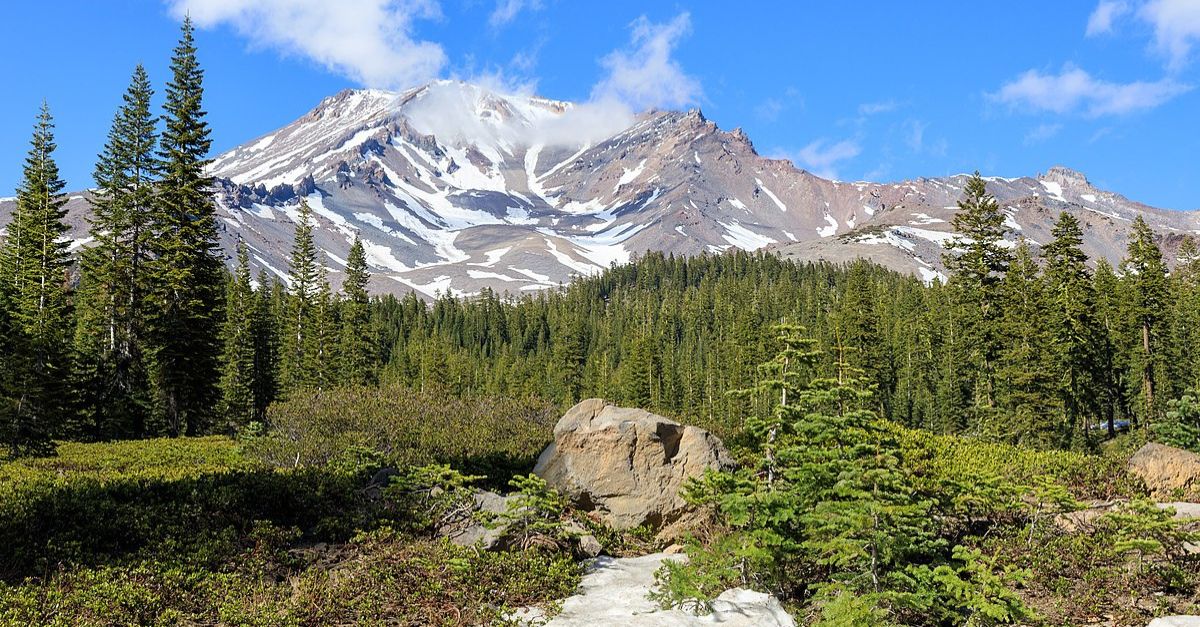
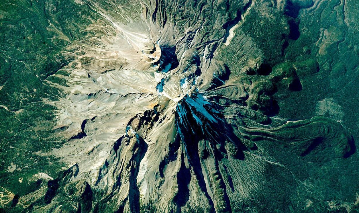
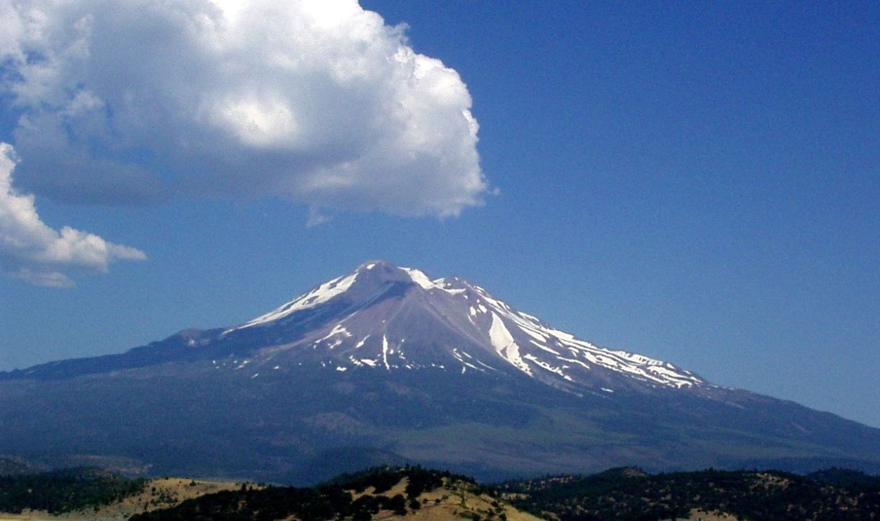
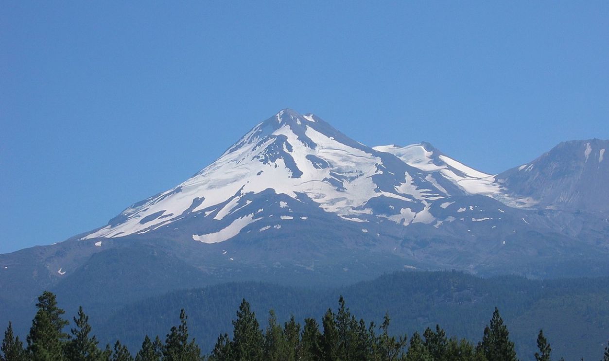
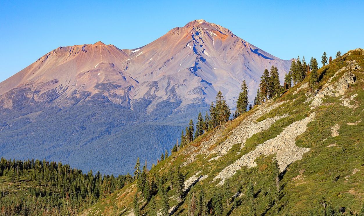
Mount Shasta stands as the fifth-highest peak in California, measuring 14,179 feet in Siskiyou County. This stratovolcano is part of the Cascade Range with a huge volume of about 85 cubic miles, which makes it the biggest volcano in the range.
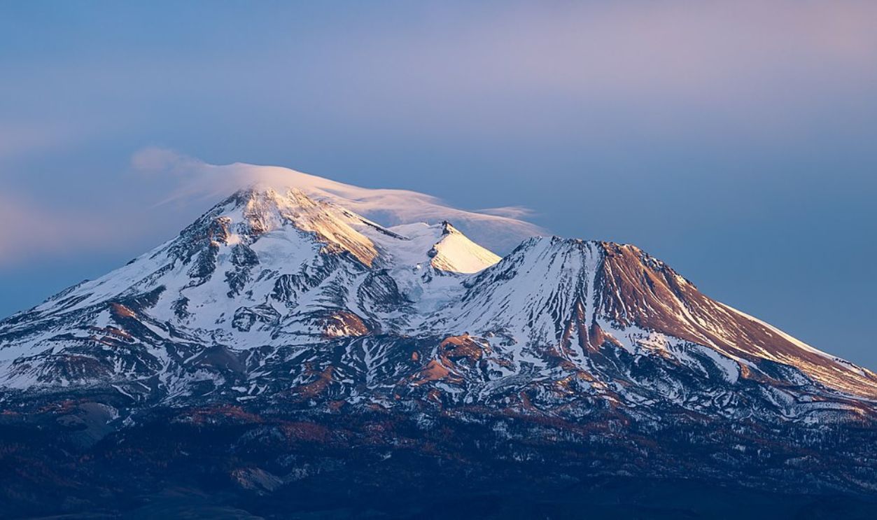 Frank Schulenburg, Wikimedia Commons
Cones And Glaciers
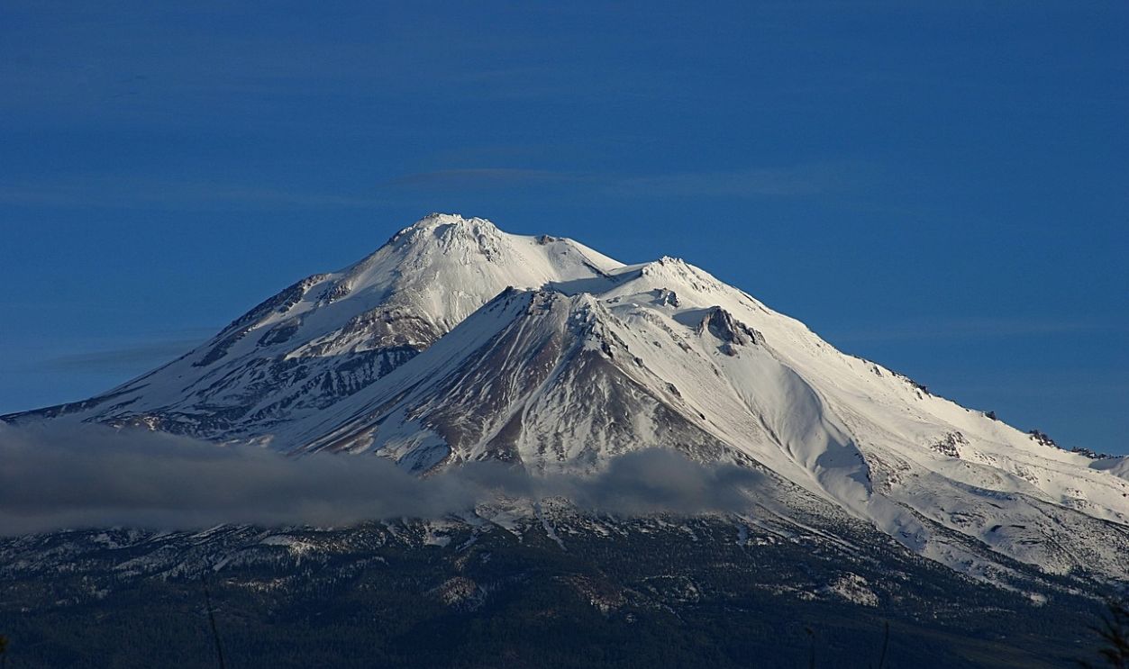
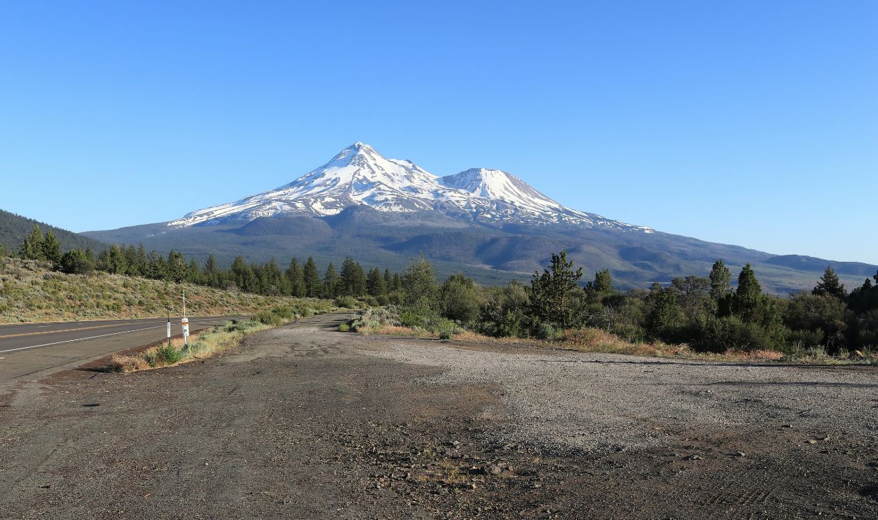
This mountain is characterized by its four overlapping cones, featuring a notable satellite cone called Shastina, which rises to around 3,760 meters. The mountain also displays several glaciers on its northern and eastern flanks.
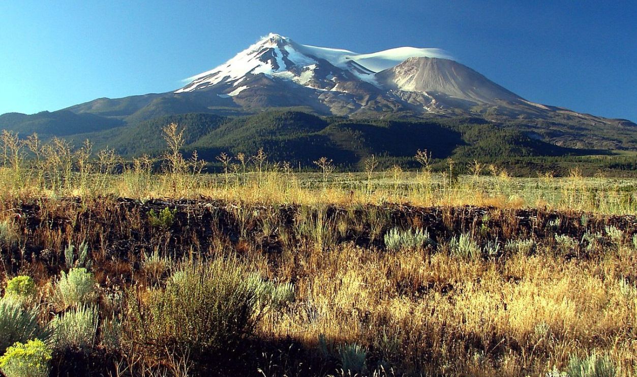 inkknife_2000 (7.5 million views +), CC BY-SA 2.0, Wikimedia Commons
Volcanic Birth
Around 500,000 years ago, andesitic lava outbursts caused Mount Shasta to first develop. The groundwork for the stratovolcano was laid by these early volcanic episodes that took place on the mountain's western face, close to the present-day McBride Spring.
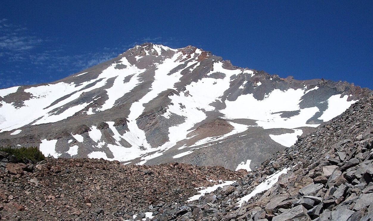 Cullen328, CC BY 3.0, Wikimedia Commons
Ancient Inhabitants
Indigenous people lived around Mount Shasta for over seven millennia. Hence, the mountain was sacred to numerous tribes, such as the Shasta, Okwanuchu, Modoc, Achomawi, Atsugewi, Karuk, Klamath, Wintu, and Yana, who maintained cultural connections.
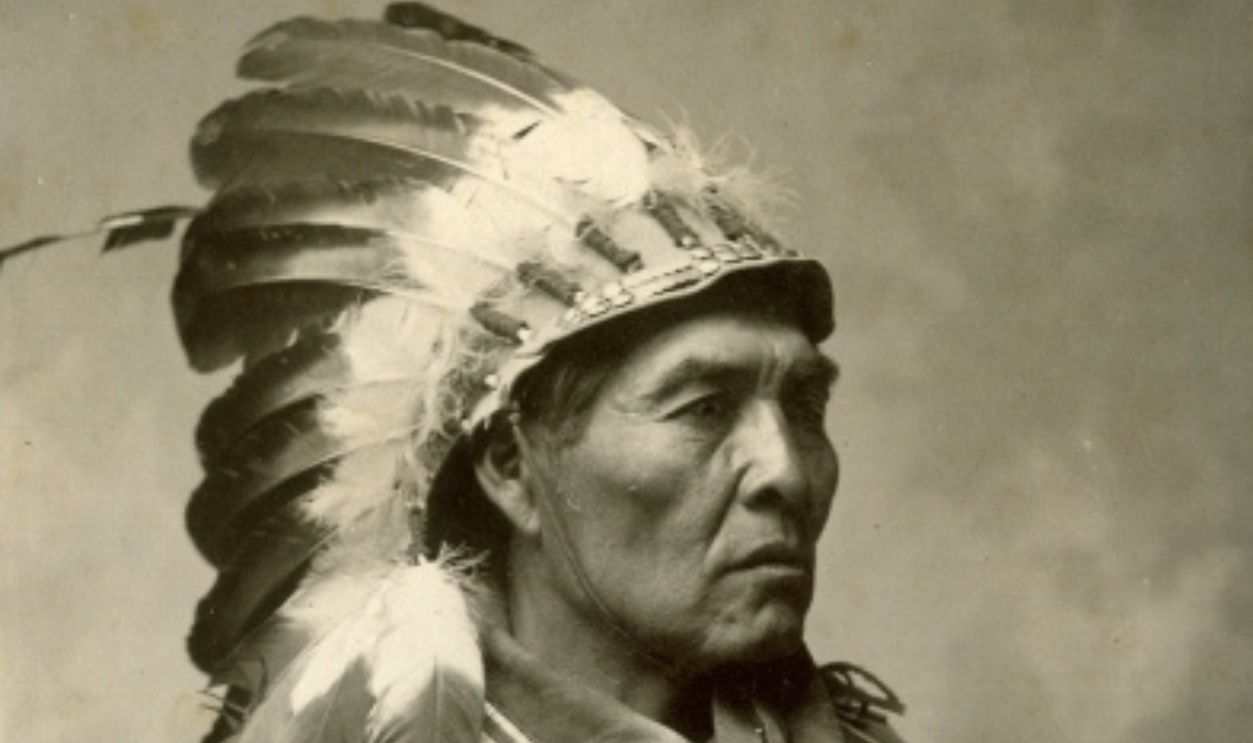 Joseph Andrew Shuck, Wikimedia Commons
Mountain Mythology
Various legends linked with the mountain show its importance in tribal cosmologies. For instance, Wintu legends trace their origins to a sacred spring on the mountain, while Modoc stories speak of animal ancestors descending from its peak.
 Poppy, CC BY-SA 3.0, Wikimedia Commons
First Western Record
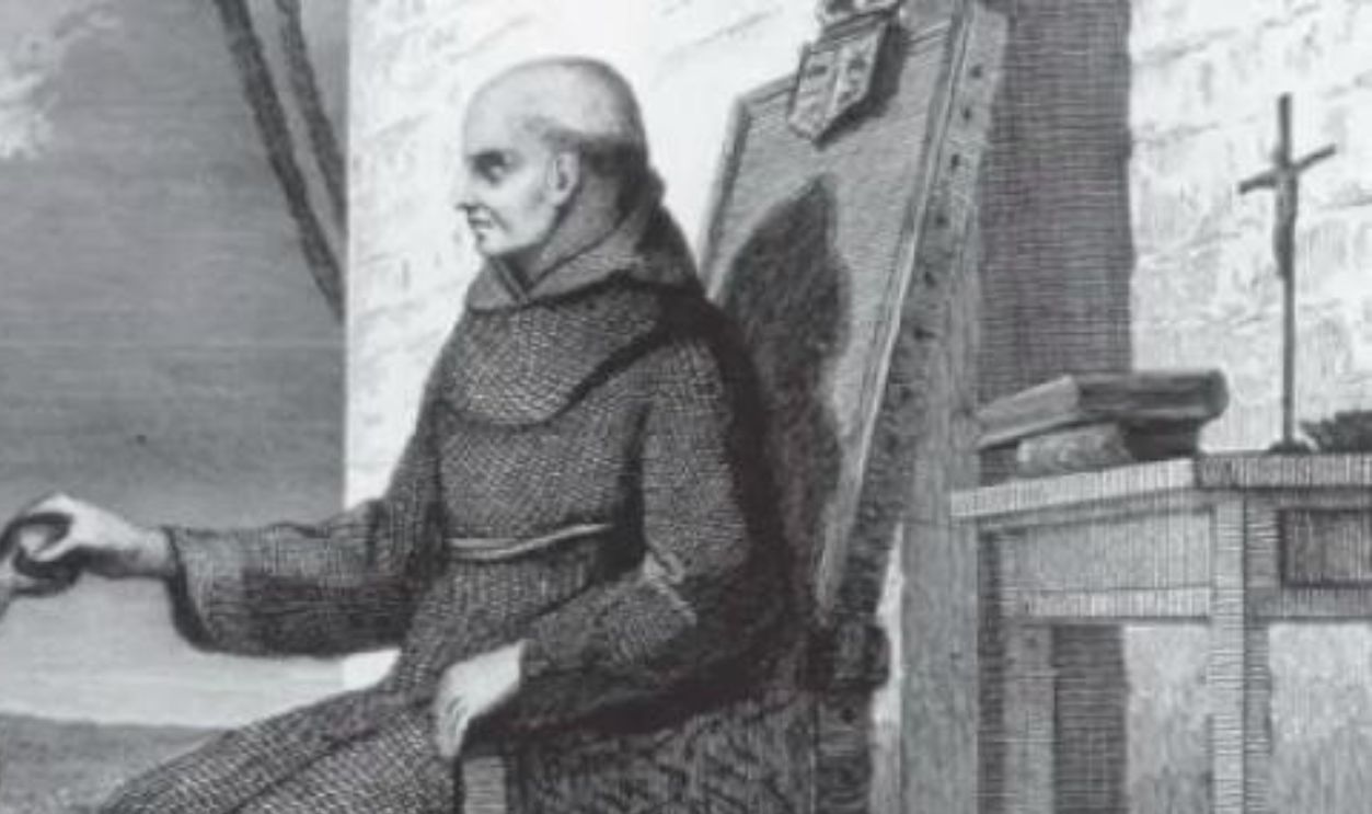
It was on May 20, 1817, that the Spanish explorer Narciso Durán made the first written European description of Mount Shasta. As part of the Luis Antonio Argüello expedition into the Sacramento River Valley, Durán referred to the mountain differently.
 A 19th century engraving of Padre Narisco Duran., Wikimedia Commons
Spanish Documentation
He called it "a very high hill called Jesus Maria by soldiers, entirely covered with snow". This account marked an essential moment in the documentation of the mountain, which had likely been sighted by earlier explorers but not formally recorded.
Early Exploration
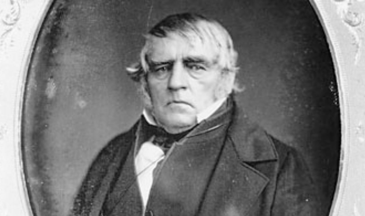
Then, in the year 1826, Hudson's Bay Company trapper Peter Skene Ogden encountered Mount Shasta during his explorations in the region. The following year, he decided to name a nearby mountain, Mount McLoughlin, as "Sasty" or "Sastise”.
 Unknown Author, Wikimedia Commons
Name Origin Mystery
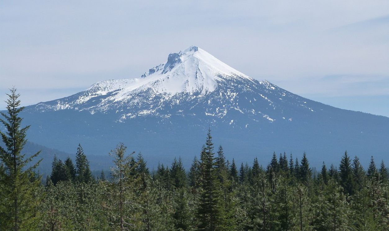
So, the name "Sasty" or "Sastise" has been attributed to both Mount McLoughlin and Mount Shasta over time. However, scholars like Jeff LaLande argue that Ogden intended to name Mount McLoughlin, not Mount Shasta, as "Sastise”.
 Ian Poellet, CC BY-SA 4.0, Wikimedia Commons
Historic Trade Route
The Siskiyou Trail is a historic route that connected California's Central Valley to the Pacific Northwest, specifically the Columbia River in Washington State. This trade route closely followed ancient Native American footpaths and passed along the base of Mount Shasta.
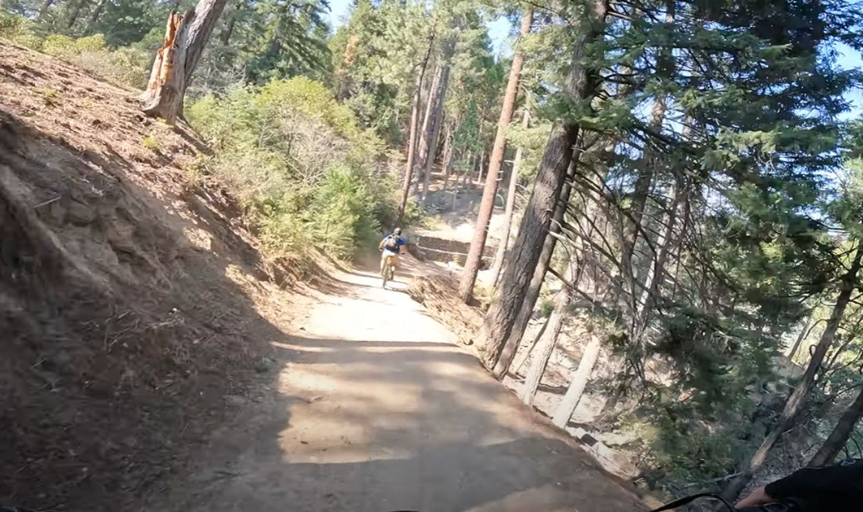 Lake Siskiyou Trail by surfdmountain
Gold Rush Impact
It is said that the California Gold Rush, which began in 1848, dramatically increased traffic along the Siskiyou Trail. Thousands of miners traveled this route in search of gold, particularly after discoveries in Siskiyou County, such as at Yreka.
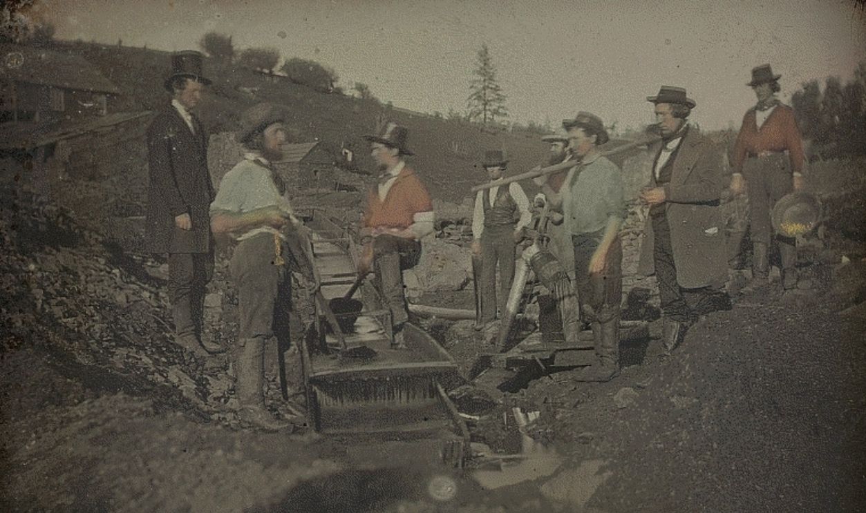 George H. Johnson, Wikimedia Commons
Pioneer Achievement
In 1854, Elias Pearce (also known as Elias Davidson Pierce) made history as the first person to successfully reach the summit of Mount Shasta. His amazing ascent on August 14 was a great milestone after many prior attempts by others had failed.
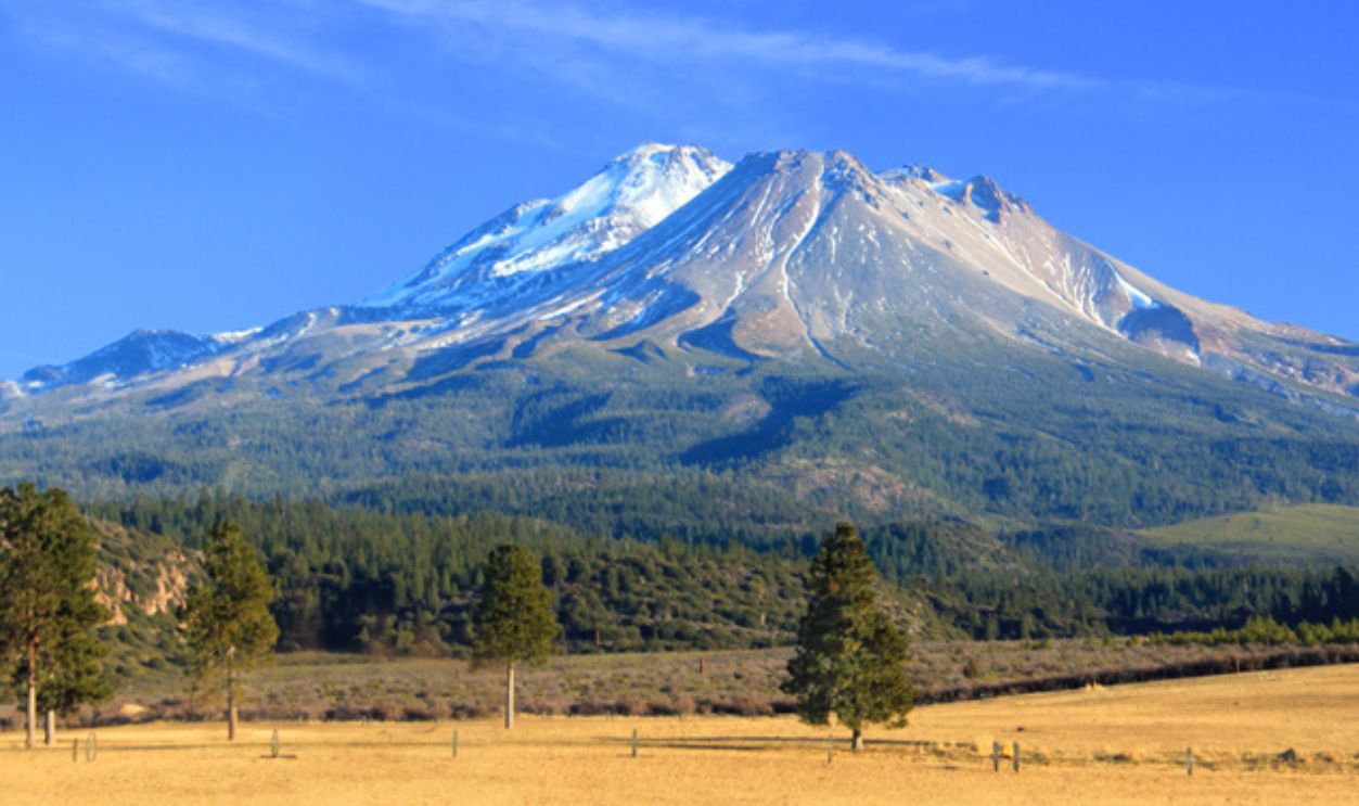 Ricraider, CC BY-SA 4.0, Wikimedia Commons
Pioneering Summit Group
Pearce was accompanied by a team of eight climbers. The group reportedly reached the summit around 11:30 AM and planted an American flag at the peak shortly thereafter. Pearce also stated that many in the party turned "deathly pale" as they scaled the heights.
Women Trailblazers
In an exciting achievement for 1856, Harriette Eddy and Mary Campbell McCloud were part of a team that made it to the top of Mount Shasta on September 16 that year. It was officially the first recorded female climb of the mountain.
The 1856 Female Team
The expedition consisted of women named Harriette Eddy and Mary Campbell McCloud, along with other members such as Mrs. Mary A. White, Mrs. Lowery, and Mrs. Gage. This diverse group aimed to conquer the peak that had previously been summited only by men.
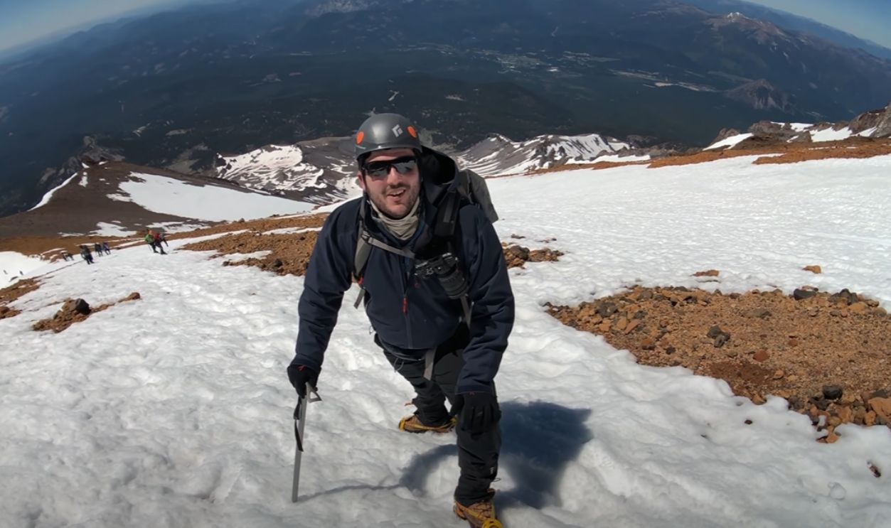 Hiking Mt Shasta via Avalanche Gulch (4k) by California Through My Lens
Scientific Interest
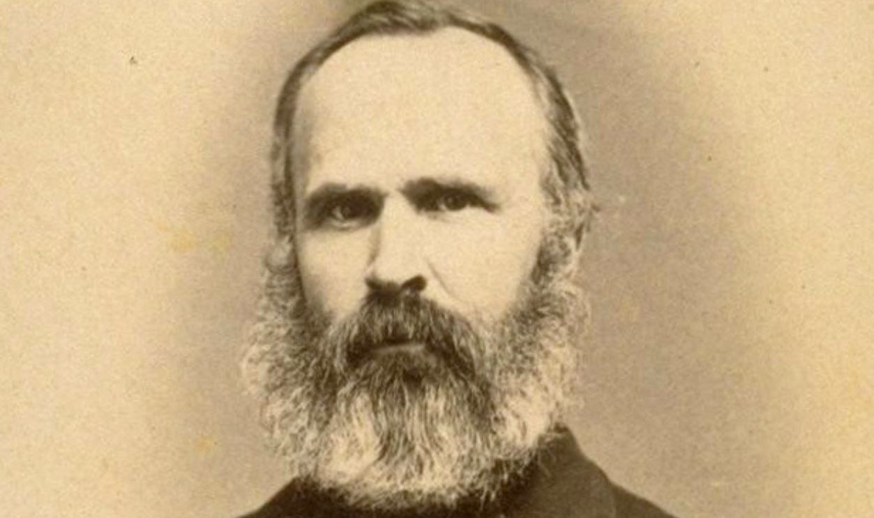
During the 1860s and 1870s, some well-known researchers visited Mount Shasta. Some of them were John Muir, Josiah Whitney, Clarence King, and John Wesley Powell, who did a bunch of studies on the mountain's features. They also inspired others to take up such projects.
 Silas Selleck, Wikimedia Commons
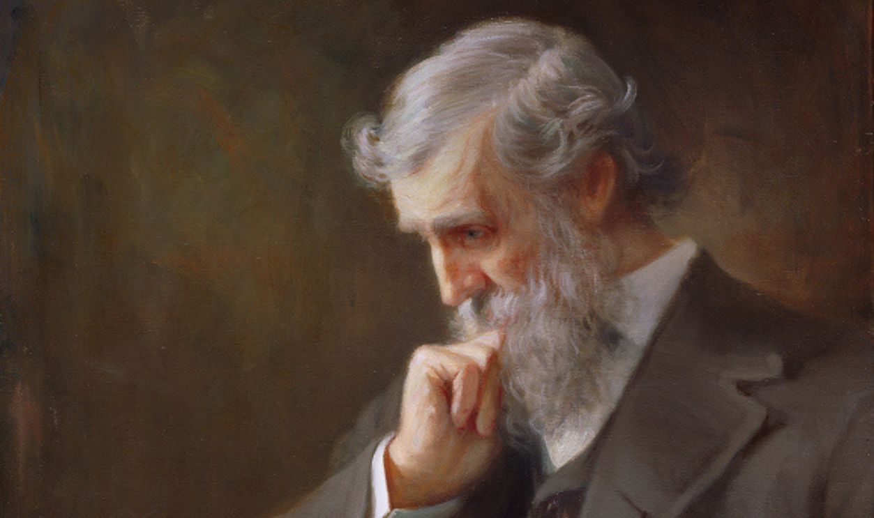
John Muir
Often referred to as the "father of the national parks," John Muir first climbed Mount Shasta in 1874 and returned multiple times in 1875. During his expeditions, his goal was to document the mountain's flora, fauna, and other geological characteristics.
 Orlando Rouland, Wikimedia Commons
Railroad Impact
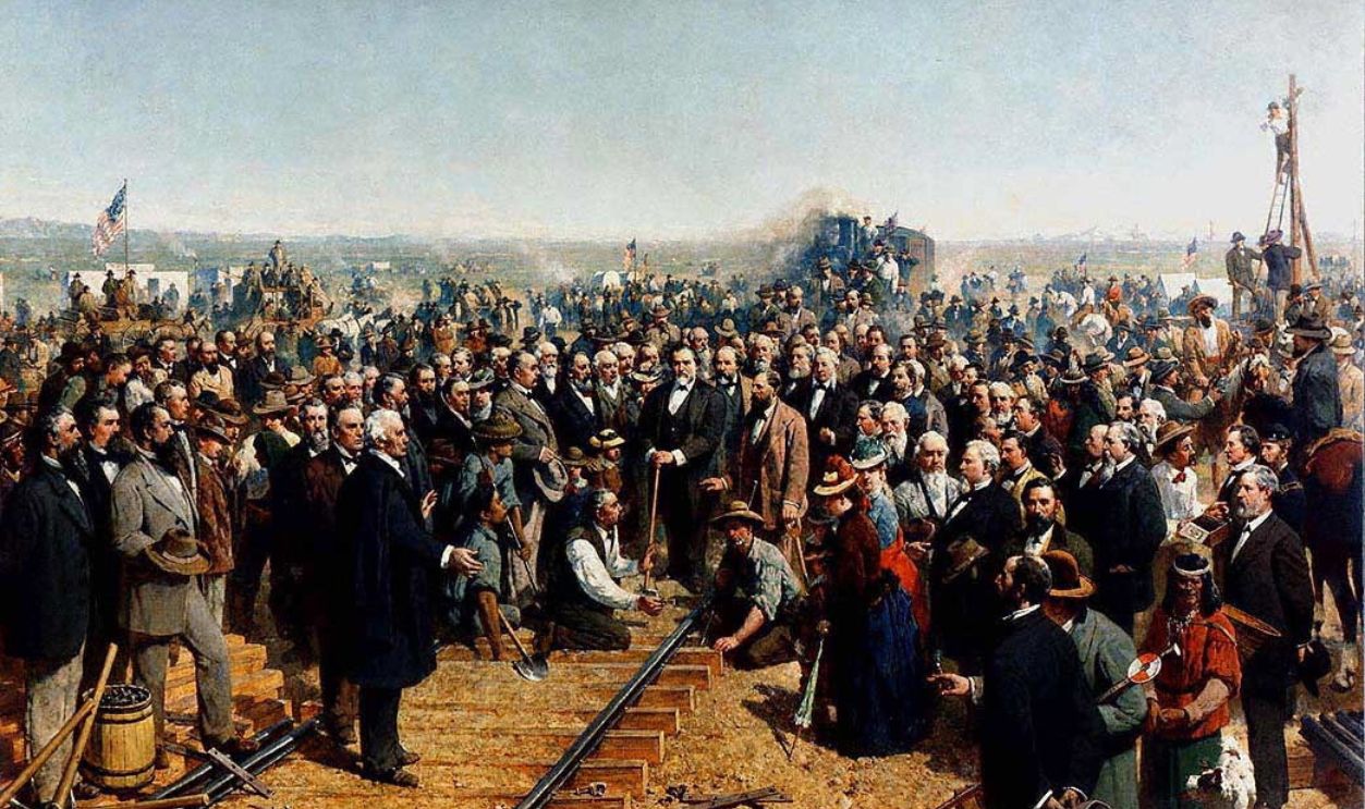
The completion of the Central Pacific Railroad in 1887 made it much easier to get to Mount Shasta. This change boosted tourism as early hotels emerged, ramped up the lumber industry, and even caused a rise in the population of nearby towns.
 California State Railroad Museum, Wikimedia Commons
Glacial Champion
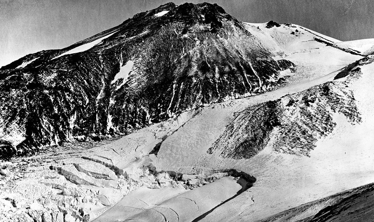
Mount Shasta is home to two incredible glaciers. One is the Hotlum Glacier, and the other is the Whitney Glacier. The Hotlum Glacier is seen as California's most voluminous ice mass, with an area of 19.4 million square feet and a volume of around 1.3 billion cubic feet.
Whitney Glacier
Similarly, this one is the longest glacier in California, measuring over three kilometers in length. It begins at an elevation of 13,700 feet (4,200 meters) on Mount Shasta's Misery Hill and flows northwestward through a valley between Mount Shasta and Shastina.
 C.E. Watkins, Wikimedia Commons
Avalanche Gulch
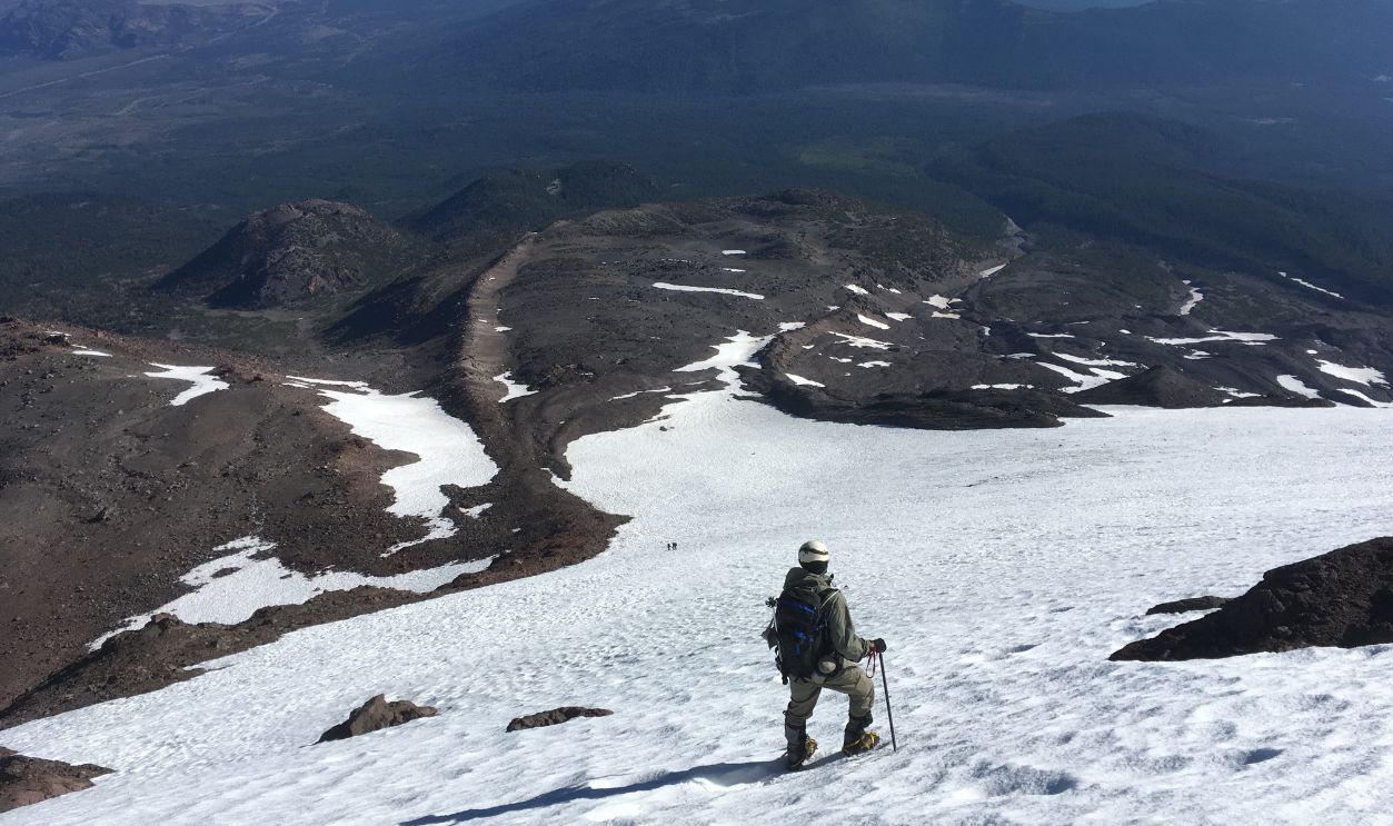
The prominent U-shaped valley on the south side of Mount Shasta, known as Avalanche Gulch, represents the largest glacial formation on the mountain. Although it is currently glacier-free, it is a popular climbing route known as the John Muir Route.
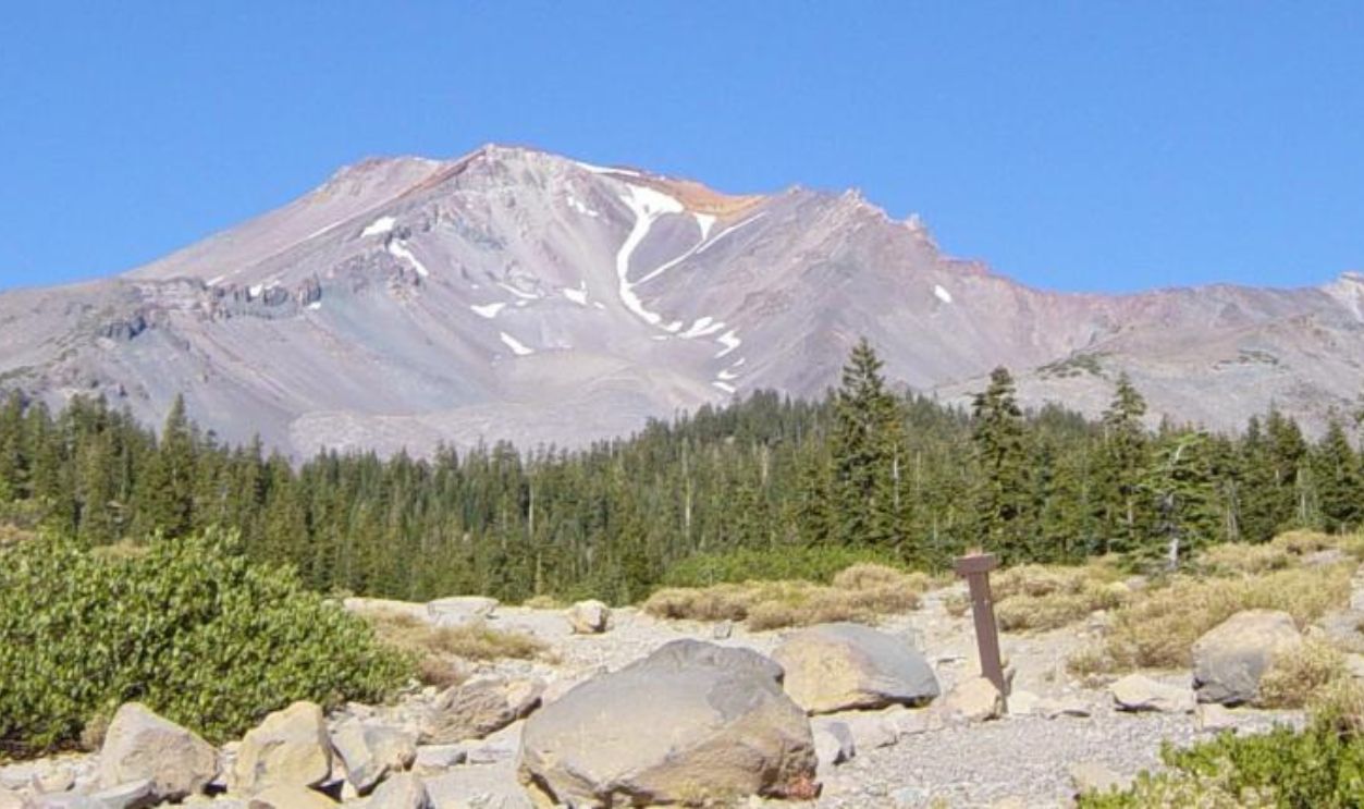 Mav, CC BY-SA 3.0, Wikimedia Commons
The Gulch Route
The route begins at the Bunny Flat trailhead, which is placed at an elevation of about 6,950 feet. Climbers hike through shaded areas lined with Shasta Red Fir trees before reaching Horse Camp. The best time for climbing is generally from April through June.
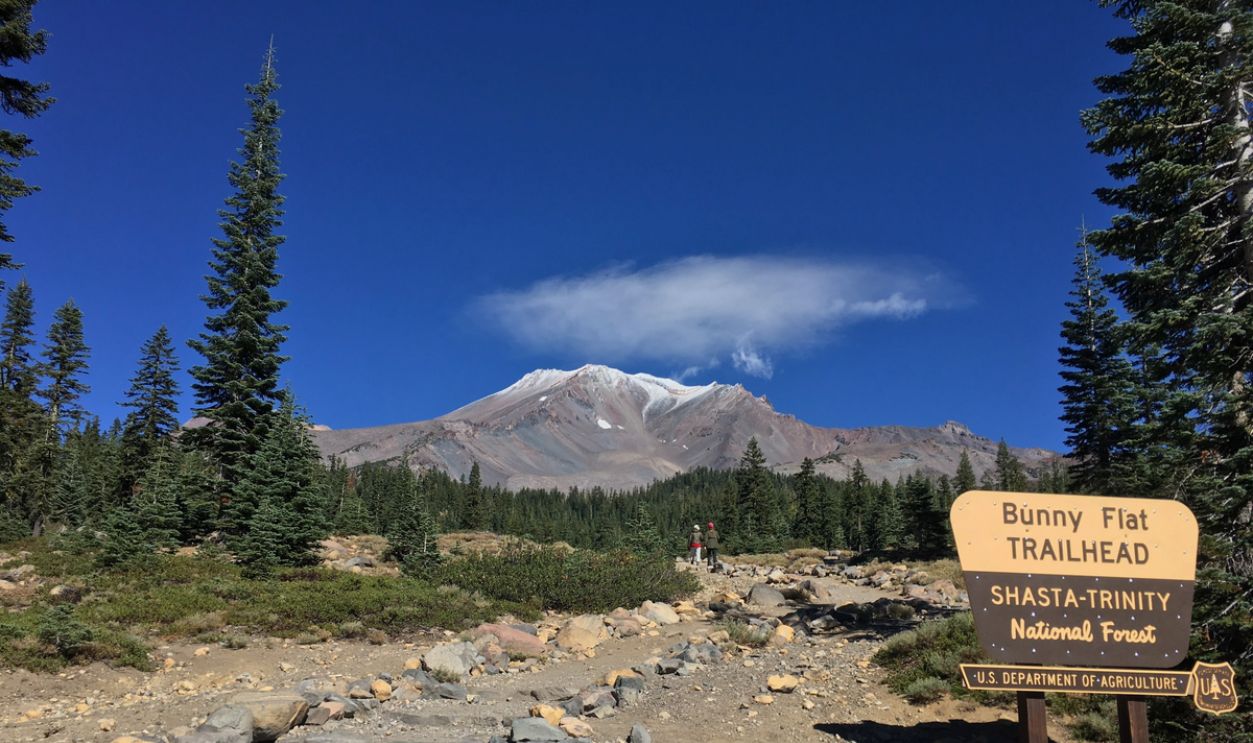 Srishti Sethi, CC BY-SA 4.0, Wikimedia Commons
Satellite Peak
Shastina, almost at the height of 12,330 feet, stands as Mount Shasta's tall secondary cone. This prominence would rank as the Cascade Range's fourth-highest peak if considered independently, surpassing many other volcanic summits.
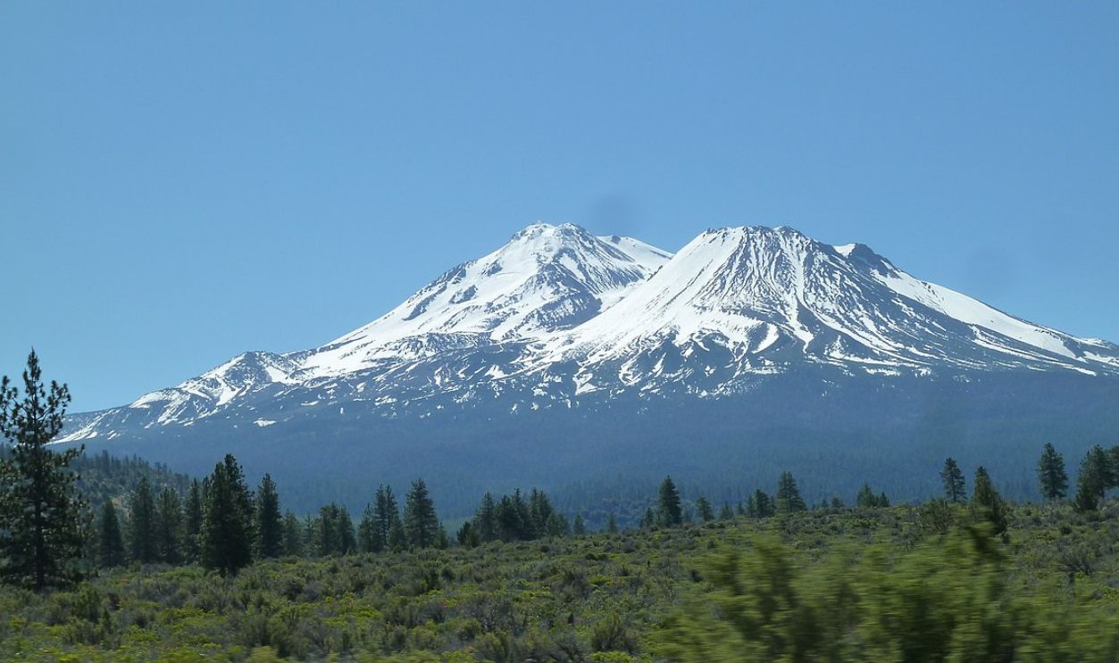 Bastique, CC BY-SA 3.0, Wikimedia Commons
Cone Formation
This peak was formed during a VEI-4 eruption around 7650 BC, coinciding with volcanic activity at both Mount Shasta and the Red Banks on its southern flank. The cone is primarily made up of silicic andesite flows and dacite plugs.
Hotlum Cone
Similarly, the Hotlum Cone, which forms the summit of Mount Shasta, is noteworthy for its impressive Military Pass flow. It was formed during the Holocene epoch and extends around 5.5 miles to the northeast and reaches a thickness of 500 feet.
Snowfall Record
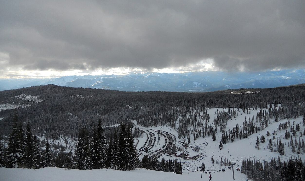
In February 1959, Mount Shasta Ski Bowl hit a record during a crazy six-day storm from February 13 to 19, piling up 15.75 feet of snow. This was the biggest snowfall recorded in a single storm in North America at the time, demonstrating its extreme weather potential.
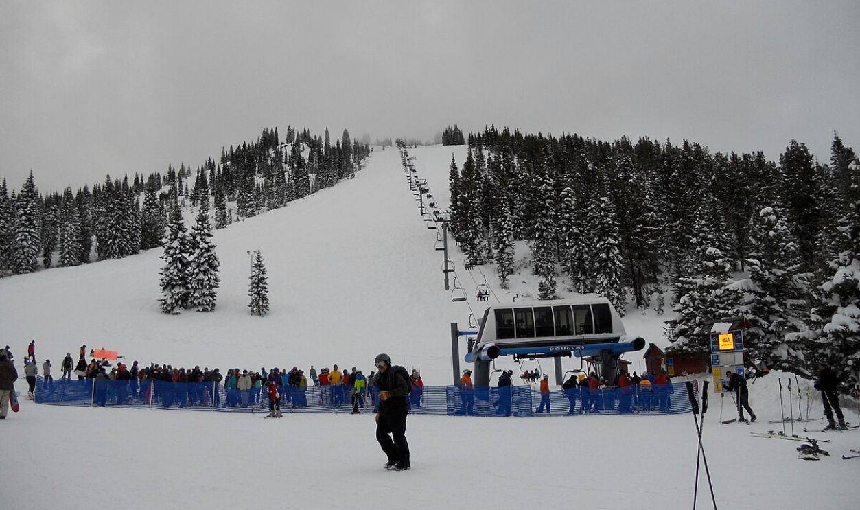 Jsayre64, CC BY-SA 3.0, Wikimedia Commons
Unstoppable Snow
The snowfall created massive snowdrifts, some reaching up to 24 feet, which led to road closures and stranded ski park employees at the lodge. There was continuous snowfall that averaged around 80 cm per hour at its peak.
 Jsayre64, CC BY-SA 3.0, Wikimedia Commons
National Recognition
Subsequently, in December 1976, this mountain was designated as a National Natural Landmark. This prestigious status recognizes the mountain's exceptional geological features, natural beauty, and scientific value to the nation.
 Frank Schulenburg, Wikimedia Commons
Tribal Mythology
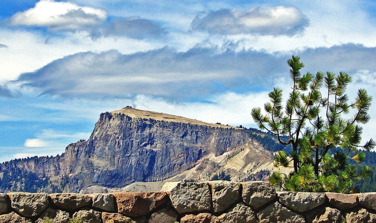
Klamath legends tell of Skell, the Spirit of Above-World, who descended to Mount Shasta's summit. Apparently, this deity engaged in epic battles with Llao, the Spirit of the Below-World from Mount Mazama, throwing hot rocks and lava.
 inkknife_2000 (7.5 million views +), CC BY-SA 2.0, Wikimedia Commons
Cultural Significance
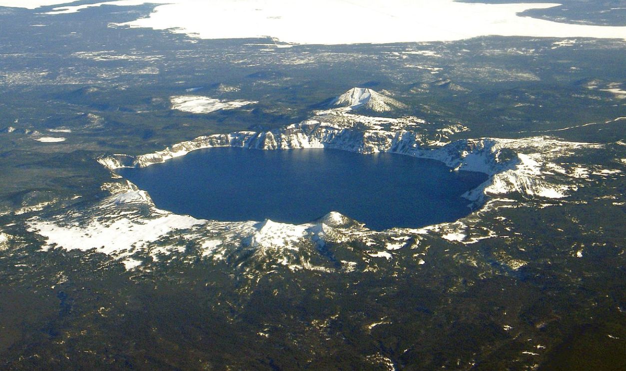
It is believed that this conflict represents not only a struggle between good (Skell) and evil (Llao) but also serves as an explanation for natural phenomena. Such as volcanic eruptions and the creation of Crater Lake, which resulted from Llao's defeat.
 Mike Doukas, USGS, Maps and stuff, Wikimedia Commons
Mystical Encounter
In 1930, Guy Ballard had an encounter while hiking on Mount Shasta. Basically, he reported meeting the Count of St. Germain, a mystical figure associated with esoteric traditions. After this, Ballard started the "I AM" Activity religious movement.
 Vaivasvata, CC BY-SA 3.0, Wikimedia Commons
Brown's Tale
Additionally, British prospector J.C. Brown claimed that he found an 11-mile cave system under Mount Shasta in 1904. He even described finding an underground village containing gold, shields, and giant mummies, though his planned expedition never materialized.
Spiritual Center
Shasta Abbey Buddhist Monastery was founded in 1971 by Houn Jiyu-Kennett and has been an important place for spiritual growth. Near Mount Shasta, the abbey is a spot where Buddhist monks train and where both lay Buddhists and visitors come to practice.
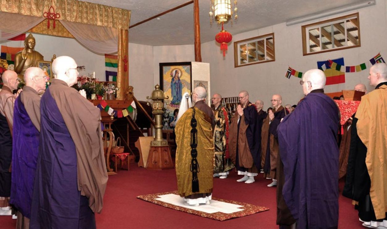 Justsitting, CC BY-SA 4.0, Wikimedia Commons
Shasta Abbey Foundation
The Abbey was founded by Rev. Master Jiyu-Kennett, a British woman who trained in Japan under Zen Master Keido Chisan Koho Zenji. It is part of the Order of Buddhist Contemplatives and became the first woman-established Zen monastery in the United States.
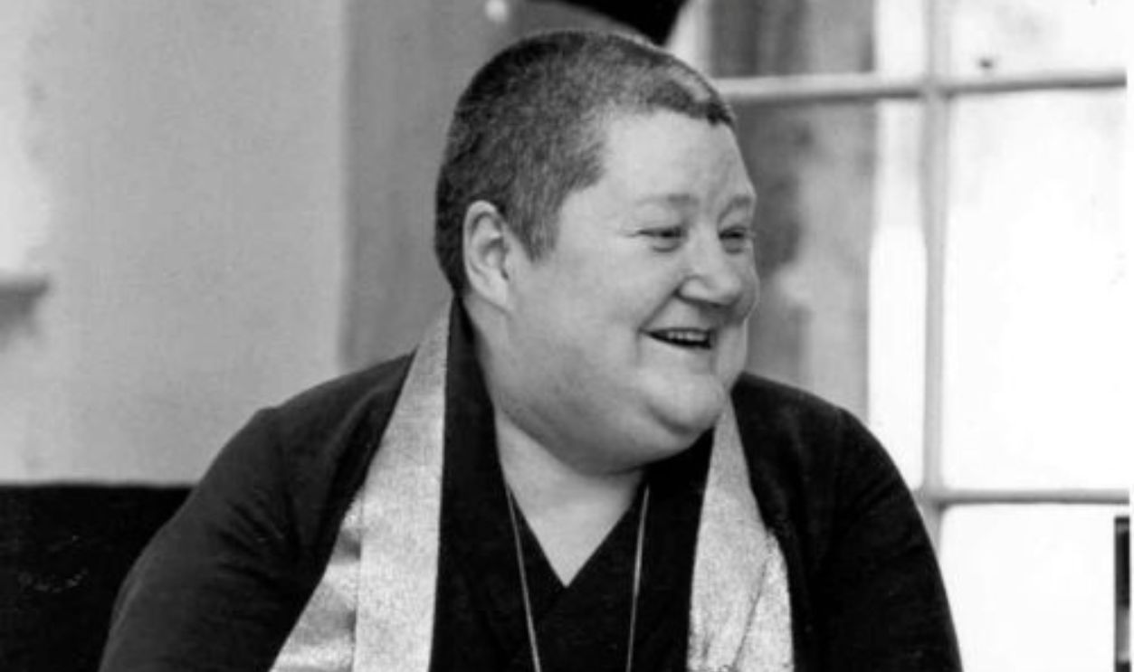 Justsitting, CC BY-SA 4.0, Wikimedia Commons
Disputed Eruption Record
According to French explorer Jean-François de La Pérouse, the last major eruption of Mount Shasta occurred around 1786. It produced large pyroclastic flows with hot lahars rolling down Ash Creek on the mountain's east flank, alongside additional mudflows from Mud Creek.
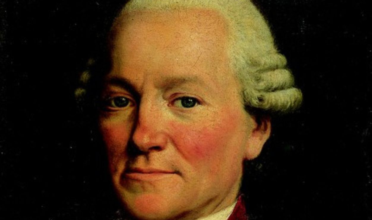 Jean-Baptiste Greuze, Wikimedia Commons
Current Consensus
However, the Smithsonian Institution's Global Volcanism Program has discredited the 1786 eruption as a major volcanic event. Instead, they indicate that the last confirmed eruption of Mount Shasta occurred around 1250 AD, based on radiocarbon dating.
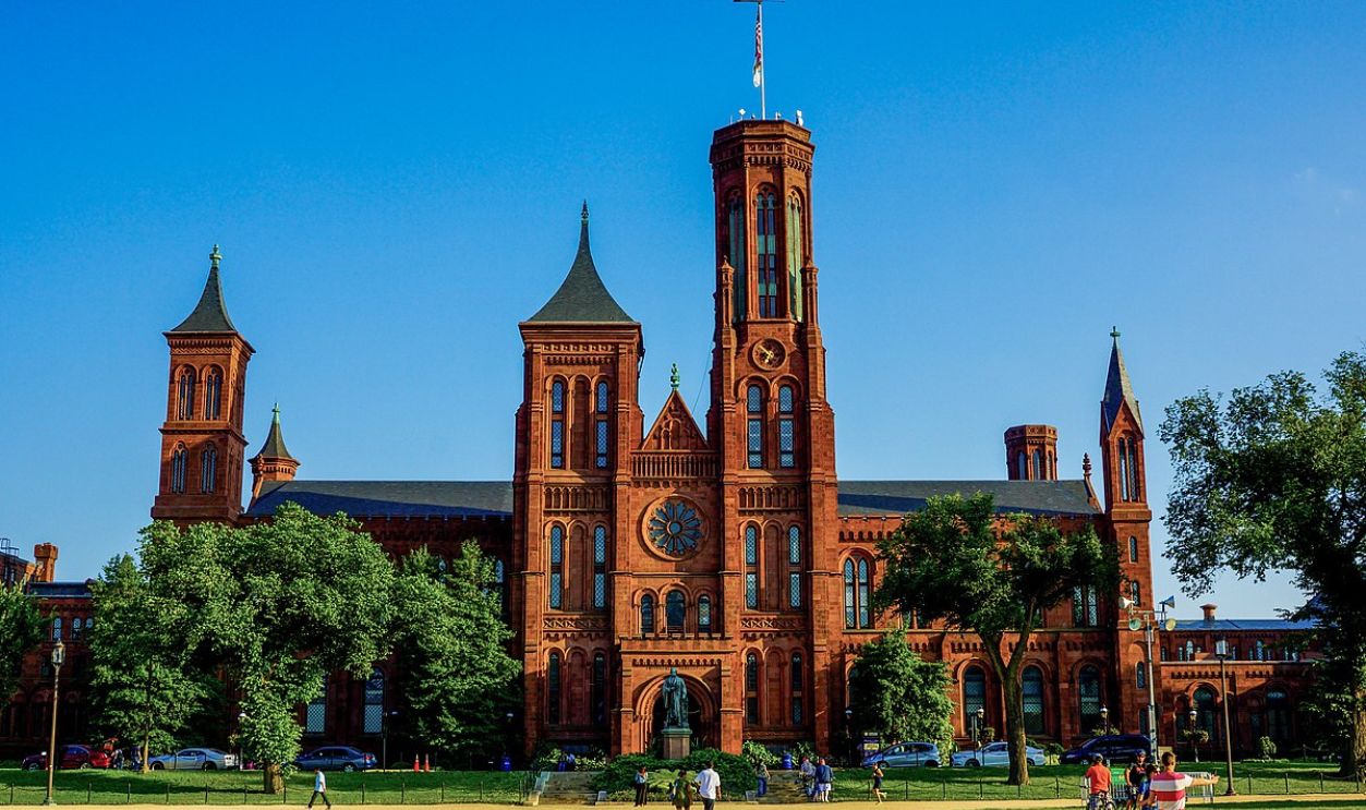 Nate Lee, CC BY-SA 4.0, Wikimedia Commons
Ancient Collapse
A catastrophic event affected Mount Shasta 300,000 years ago when the entire north side of the volcano collapsed. This massive landslide formed a debris avalanche with an estimated volume of 27 cubic kilometers (6.5 cubic miles), flowing northwest into Shasta Valley.
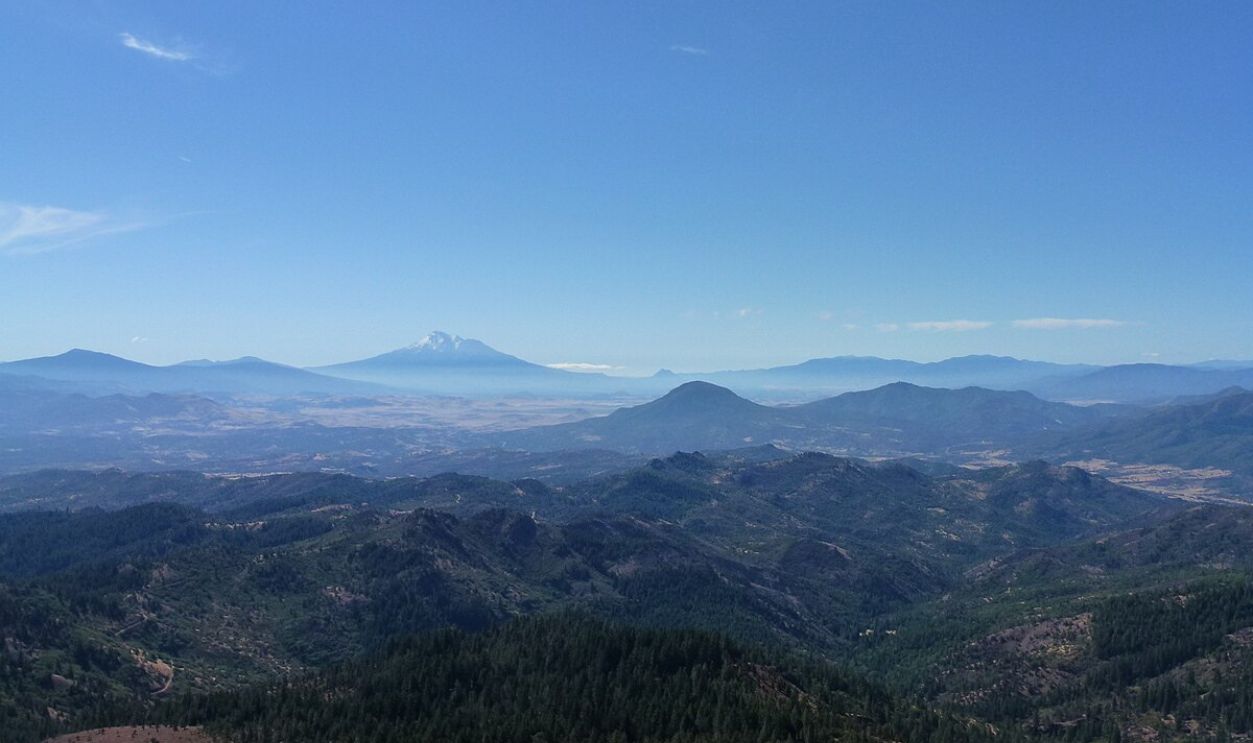 Little Mountain 5, CC BY-SA 3.0, Wikimedia Commons
Oldest Remnant
Sargents Ridge preserves the mountain's earliest volcanic history. This weathered feature, uncovered on the mountain's south side, represents the remaining structure of the original volcanic cone, which is shaped by centuries of glacial erosion.
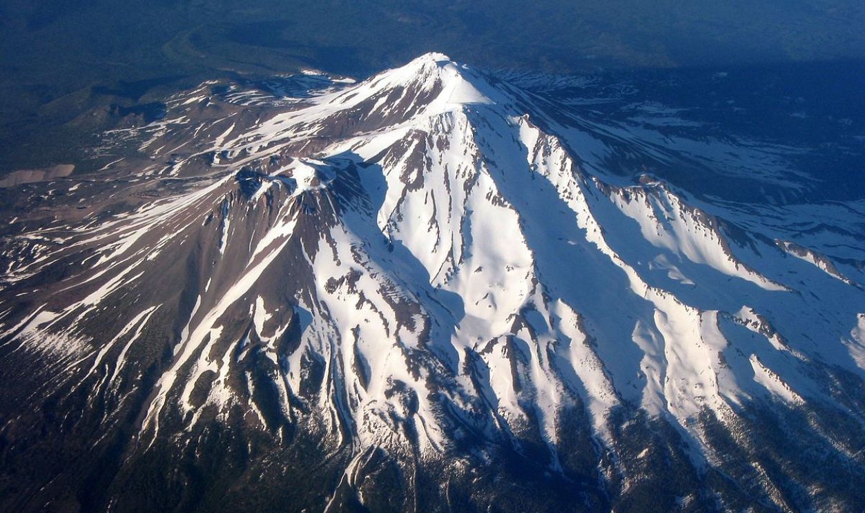 Ewen Denney, CC BY-SA 3.0, Wikimedia Commons
Misery Hill Era
The Misery Hill cone emerged 15,000–20,000 years ago through multiple volcanic events. It was built during the Late Pleistocene. The summit of Misery Hill is crowned with a distinctive hornblende dacite dome and has an estimated volume of 60 cubic kilometers.
Crater Features
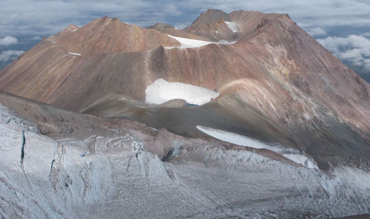
The 600-foot-wide crater's formation is linked to the volcanic history of this place, where heated water and volcanic gases interacted with the rock. Fumaroles present here are vents that let out steam and gases, showing that geothermal activity is still going on.
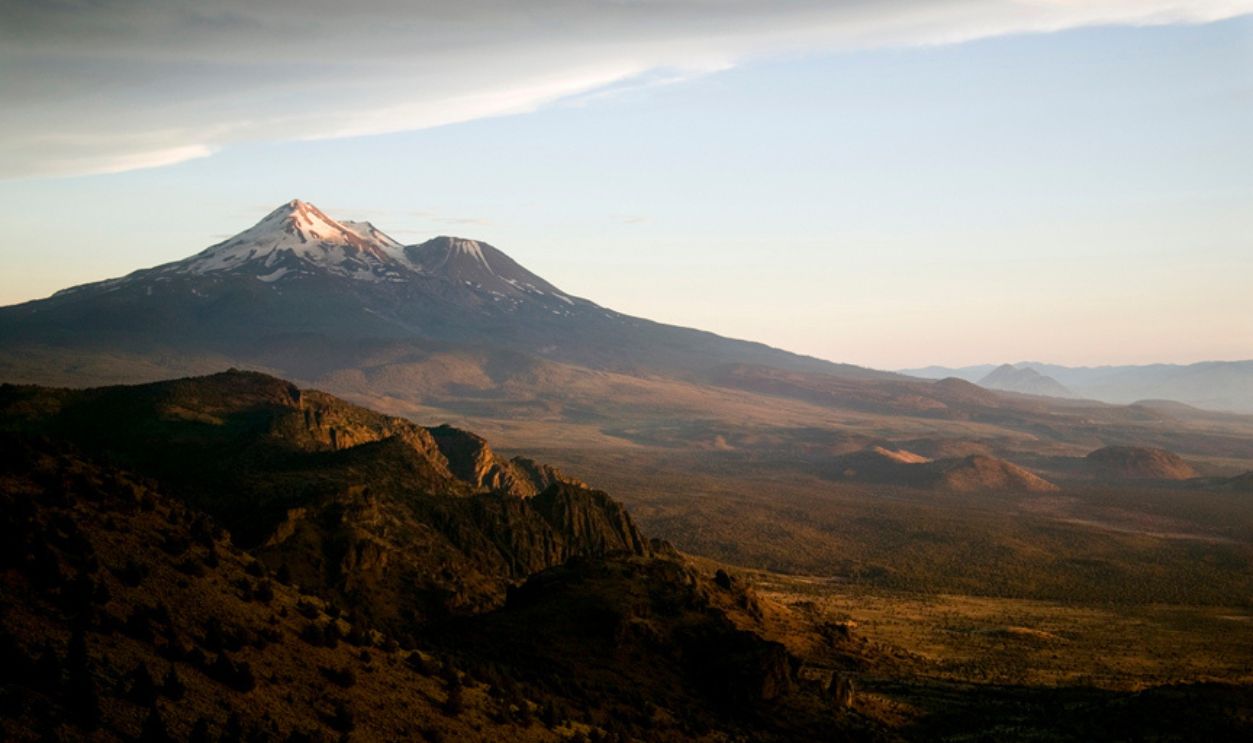 U.S. Geological Survey, Wikimedia Commons
Volcanic Complex
Black Butte came up alongside Shastina as a dacite plug dome complex, with their combined volcanic activity generating pyroclastic flows. These covered about 43 square miles (110 sq km), greatly impacting the surrounding area.
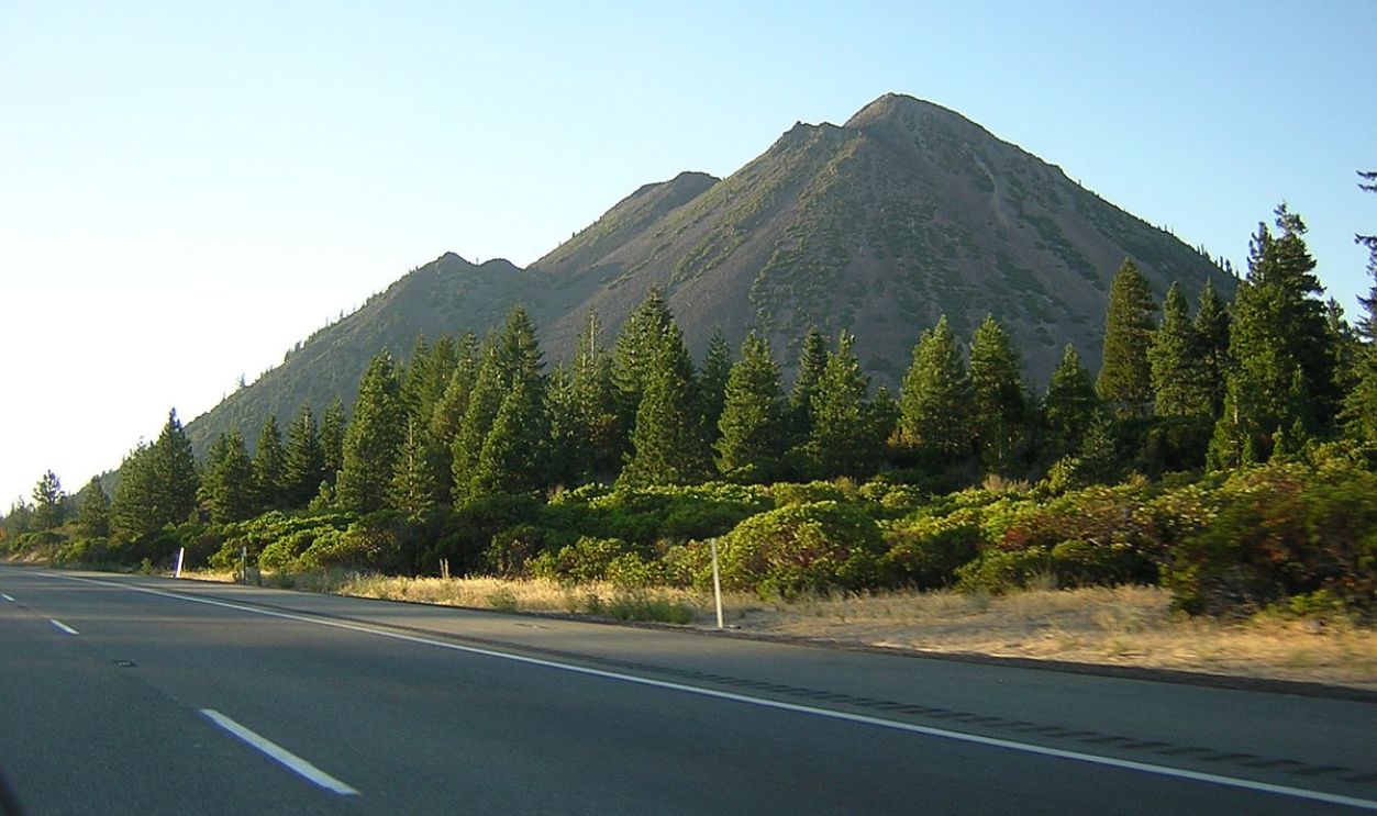 KyleAndMelissa22, Wikimedia Commons
Weather Patterns
The mountain sets up its own weather conditions at various heights. At the top, temperatures are usually around 27.7°F over the year, and it gets a whole lot of precipitation—about 118 inches—mostly falling as snow when you go even higher.
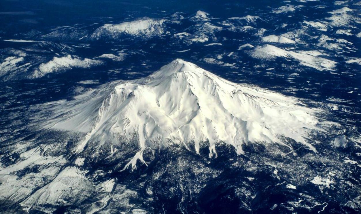 Daniel Parks, CC BY 2.0, Wikimedia Commons
A New Addition
In 2024, a 20-foot bronze statue of the Virgin Mary, named "Our Lady of Mt. Shasta," was erected at the Mt. Shasta Ski Park. This memorial honors Ray Merlo, the late husband of the park's owner, Robin Merlo, and symbolizes a commitment to family and community.
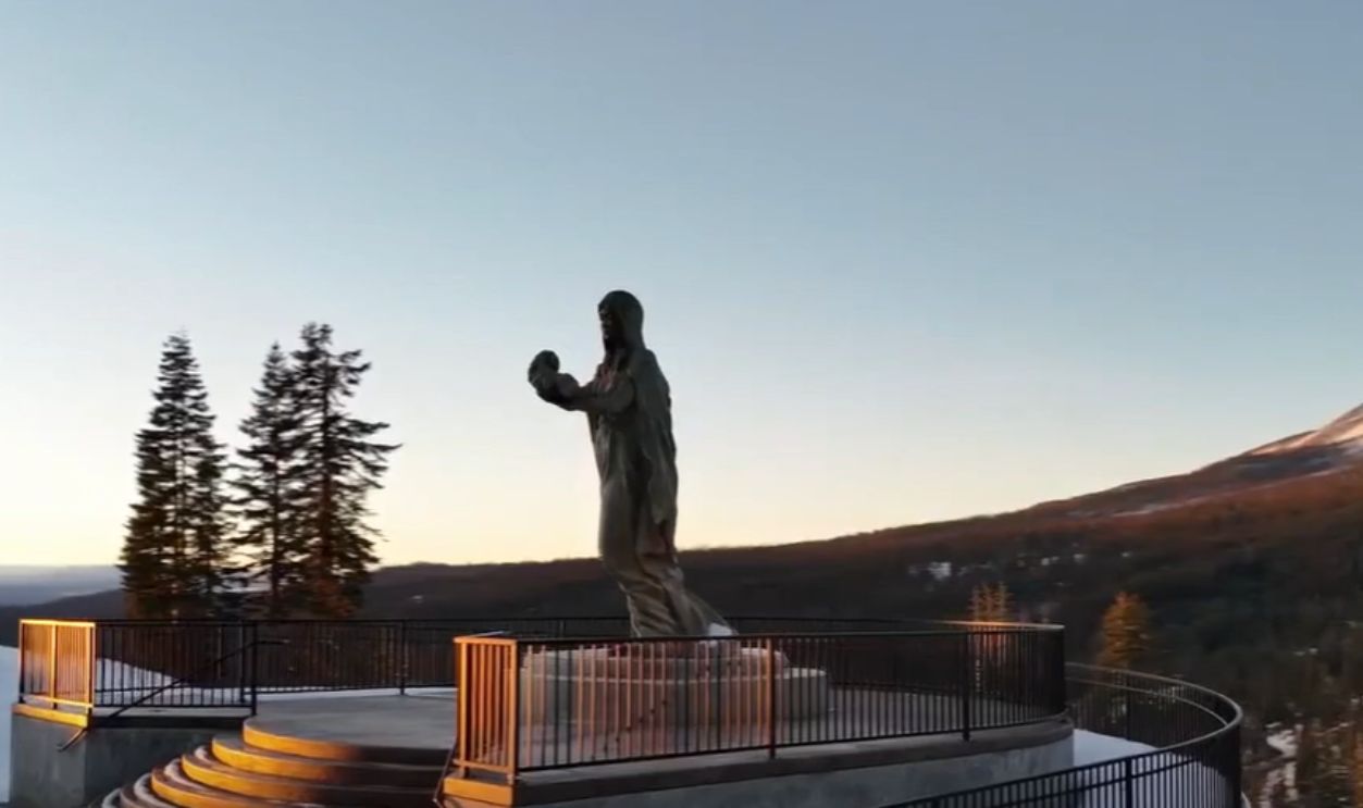 Mt. Shasta Ski Park ringing in 2024 ski season with new statue by NewsWatch 12
Conservation Status
The conservation status of Mount Shasta and its surrounding areas is primarily governed by its designation as part of the Shasta-Trinity National Forest. Also, established under the California Wilderness Act (1984), the Mount Shasta Wilderness is managed by the U.S. Forest Service.
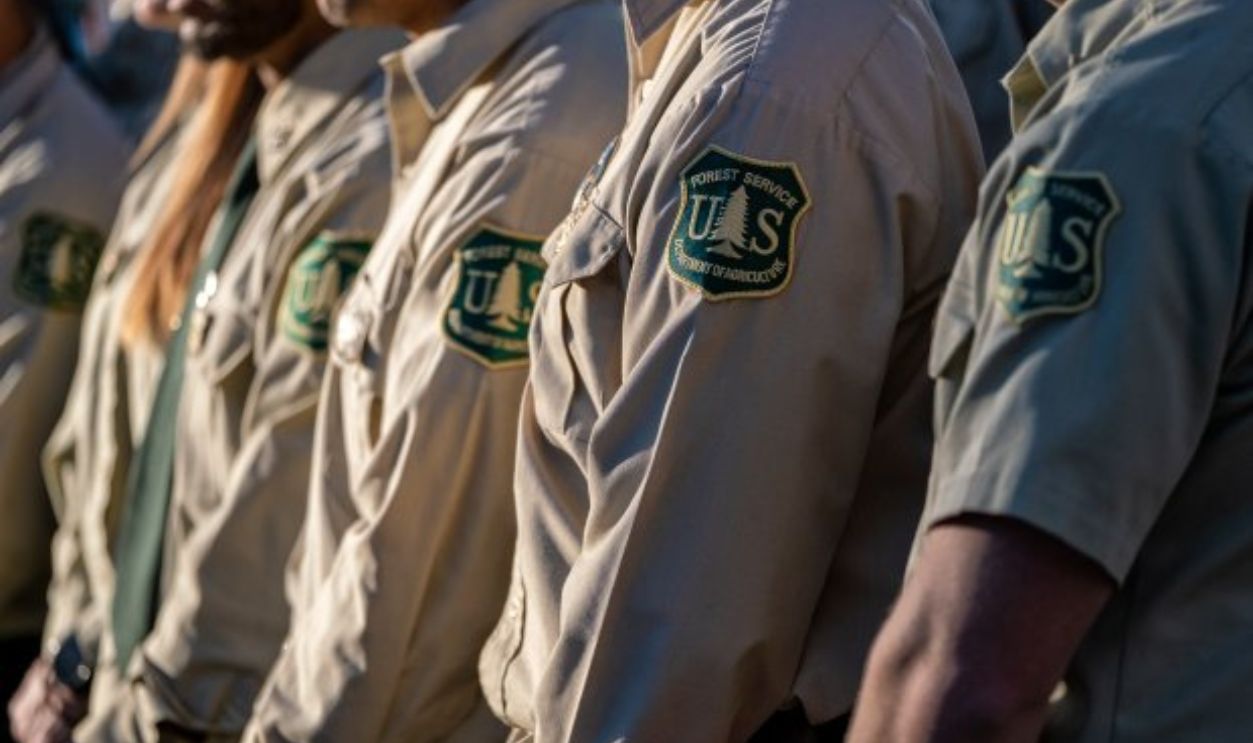 Angeles National Forest, Wikimedia Commons

