
Megastructure Under Baltic Sea
A remarkable long stone structure beneath the Baltic Sea has shifted the perception of archaeologists regarding prehistoric European societies and their hunting strategies. Read on to discover everything you need to know about the recent findings about this structure.

Ancient 3,000-Foot Wall
Archaeologists have recently discovered an incredible 3,000-foot-long ancient stone wall, known as the Blinkerwall, immersed in the Baltic Sea. This could add a new dimension to our conception of prehistoric life in Europe.
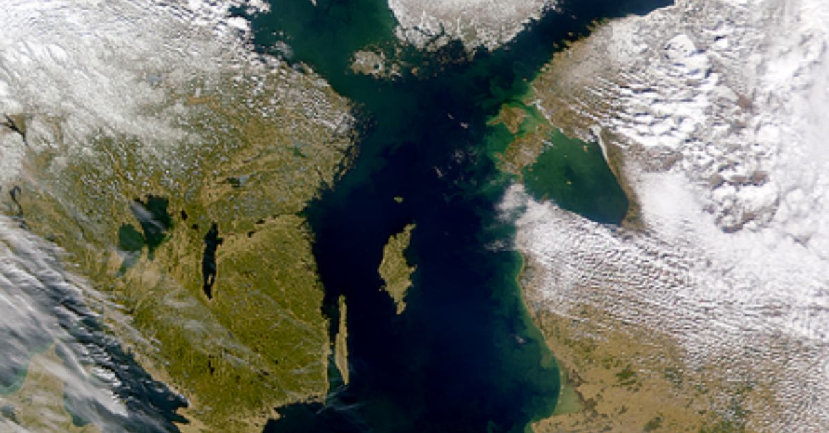
70ft Under The Baltic Sea
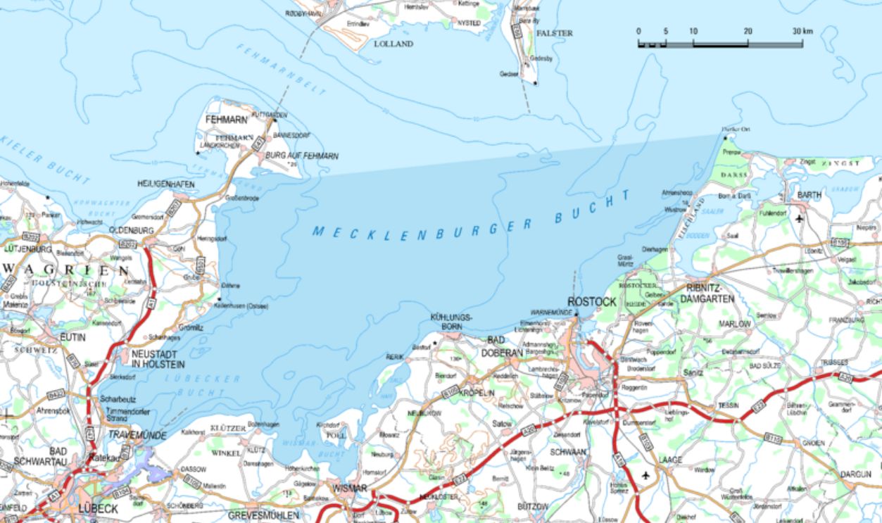
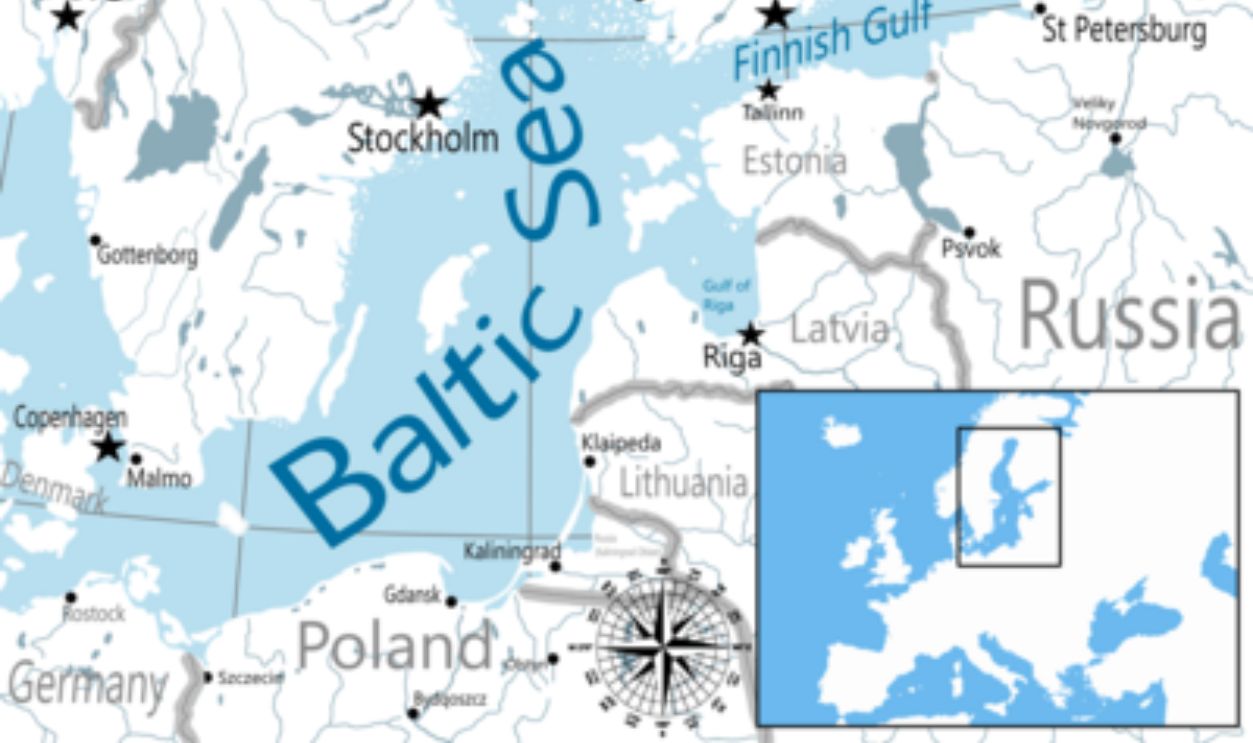
Blinkerwall reportedly lies nearly 70ft (21m) underwater in the Bay of Mecklenburg, about 6.2 miles (10 kilometers) northwest of Rerik, Germany. It is more than 3,000 feet (971 meters) long and composed of almost 1,700 stones.
Wall Built Over 10,000 Years Ago
Before the region was flooded by rising sea levels around 8,500 years ago, researchers estimate that early human civilizations built the wall over 10,000 years ago, during the Mesolithic period. Intrigued yet? Keep reading.

Research
A team overseen by the Leibniz Institute for Baltic Sea Research Warnemunde has received £830,000 ($1,030,851) in funding for a project to conduct research in the Blinkerwall. The study is set to take place from 2025 to 2027.
 Daniel Mietchen, CC0, Wikimedia Commons
Prehistoric Significance
The research will entail partnerships with the universities of Rostock and Kiel as well as the Leibniz Center for Archaeology. The project's goal is to investigate the wall's history and significance to prehistoric life with the help of these institutes.
 jens@storchenhof-pap, CC BY-SA 3.0, Wikimedia Commons
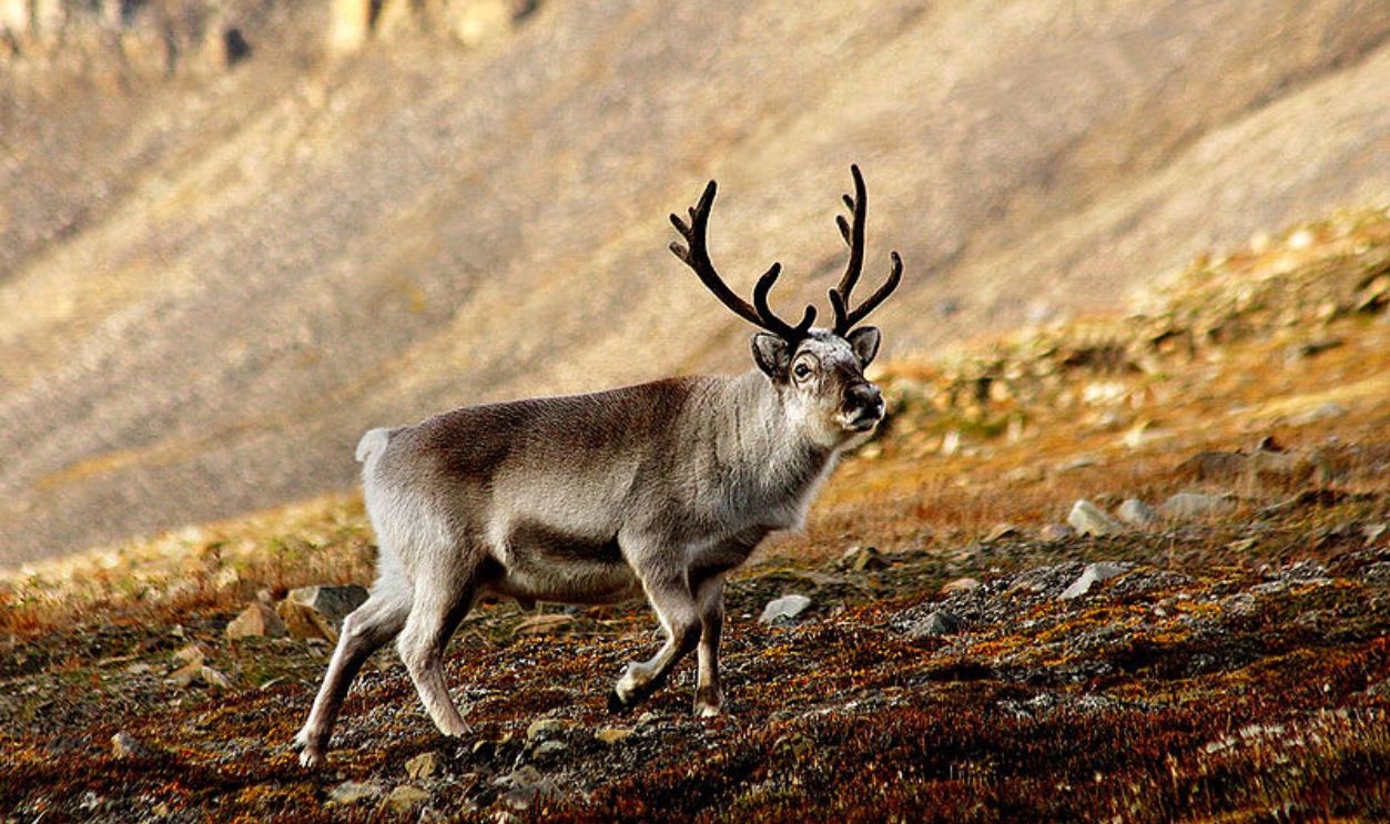
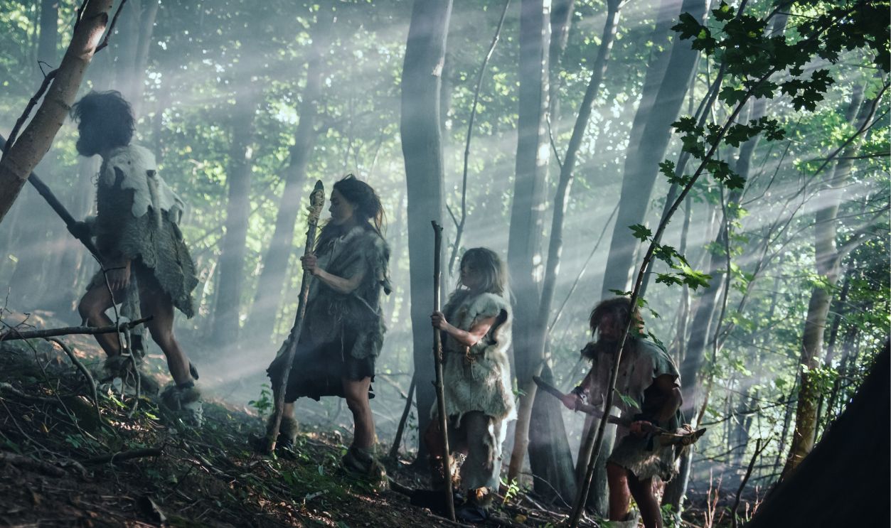
Theory About Hunter-Gatherers
According to one theory, Blinkerwall might have been used for reindeer hunting, suggesting that hunter-gatherer tribes led more complicated and fixed lifestyles than previously believed. The researchers have reportedly stated that the presence of such a huge, deliberate structure challenges long-held perceptions that the entire hunter-gatherer societies were nomadic.
 Perhols, CC BY-SA 3.0, Wikimedia Commons
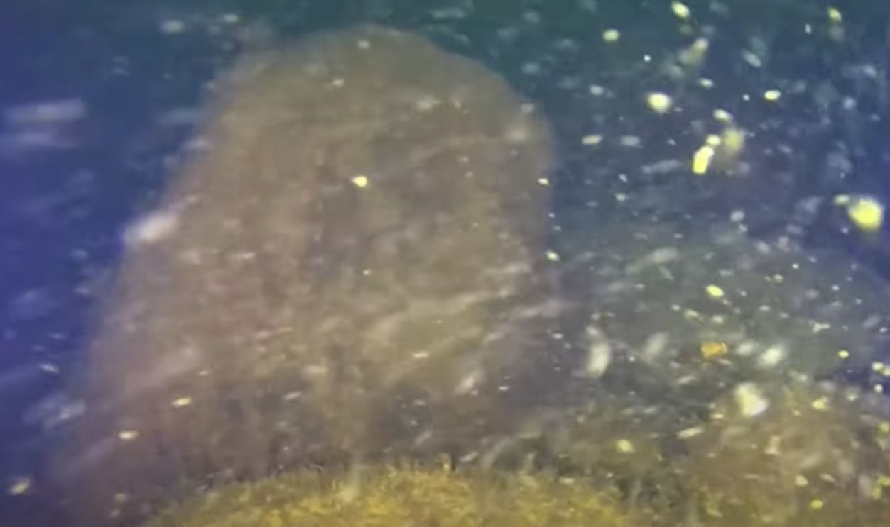
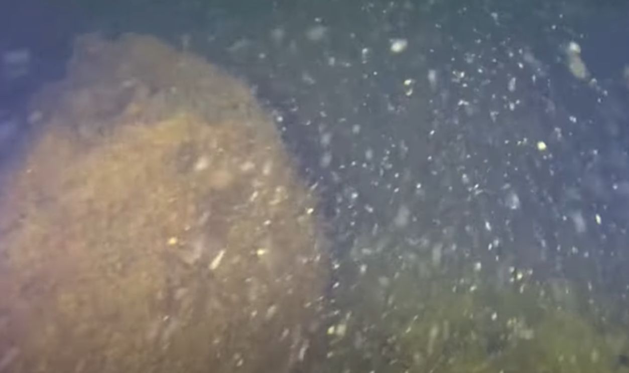
3D Model Of Blinkerwall
There is already a 3D model of the Blinkerwall that provides a close-up view of a small portion of the wall. Researchers are keen to ascertain if the structure was a distinctive stand-alone building or a component of a larger town, but its exact function is still unknown.
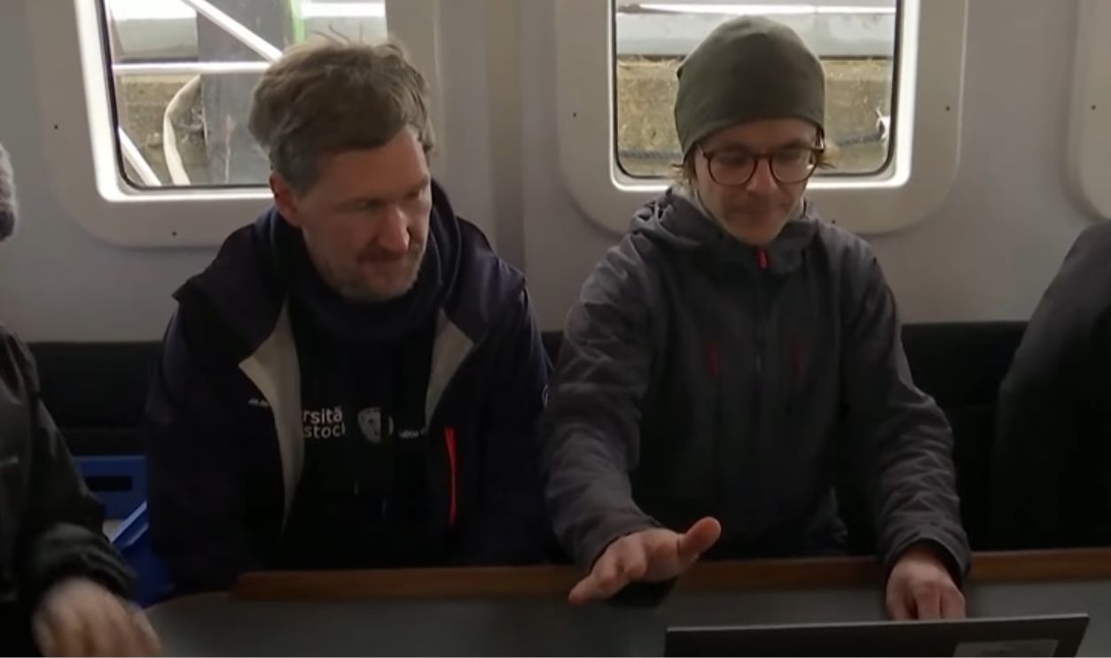
Dive Locations
The photos were processed using Agisoft Metashape software for 3D reconstruction. The dives focused on two areas: The western end of the structure and a large stone at the center where the Blinkerwall shifts direction. They primarily aimed at assessing the stonewall’s nature.
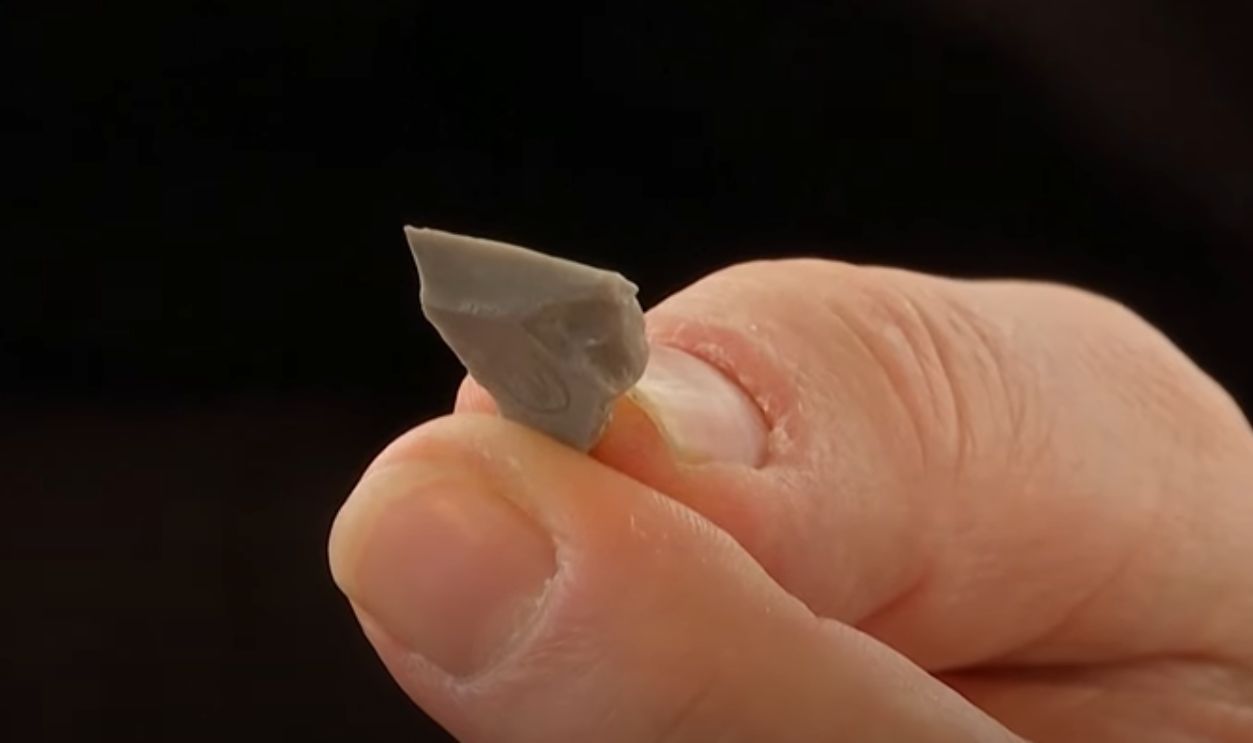
Timber Sample And Dating
A tiny timber sample was recovered from the Holocene strata around 10 meters south of the structure, but no dateable organic material or artifacts were discovered in the immediate area of the two dive sites. The sample underwent radiocarbon dating at Vilnius Radiocarbon.
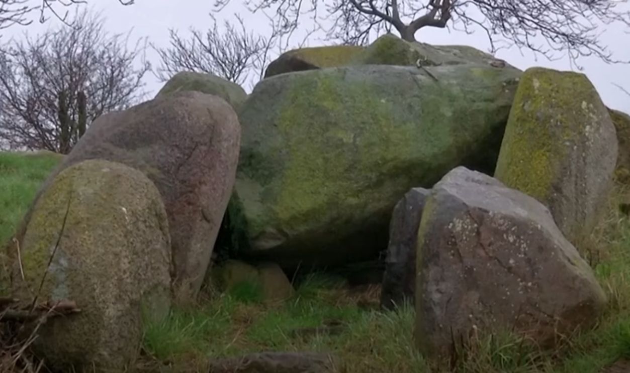
Possible Blinkerwall Construction Theories
Natural forces like underwater currents and retreating glaciers have been dismissed as possible causes of its formation. The nearly kilometer-long Blinkerwall is a continuous low wall comprising more than 1,500 granite stones. Reportedly, as per the evidence, it was built by Palaeolithic people.

Reconstructing Ancient Lake Bed
In order to reconstruct the historic lake bed and its surrounding environment, the archaeologists studying the Bay of Mecklenburg employed a variety of sampling procedures, modeling approaches, and submersible equipment. Curious as to what they found? See the following slides.
Findings
The study revealed that Blinkerwall sits on a ridge that runs east to west, with a large lake basin about 5 km wide just below it to the south. The findings indicate that it consists of 288 large boulders, likely deposited by the retreating glacier.
 Gabriel Ziegler, CC BY-SA 4.0, Wikimedia Commons
It Was Possibly Built During Major Climate Shift
When it was built, northwest Europe's seascapes and terrains were substantially different from what they are now. As the warmer Holocene era began and the colder Pleistocene era came to a close, the climate started to get warm.
 Unknown Author, CC BY-SA 3.0, Wikimedia Commons
Melting Glaciers Raised Baltic Terrain
Large glaciers covered most of Fennoscandia, and sea levels were far lower. Released from the weight of melting glaciers, the terrain surrounding the Baltic Sea basin was rising quickly, turning the brackish Yoldia Sea into the freshwater Ancylus Lake.
 Arild Vågen, CC BY-SA 3.0,Wikimedia Commons
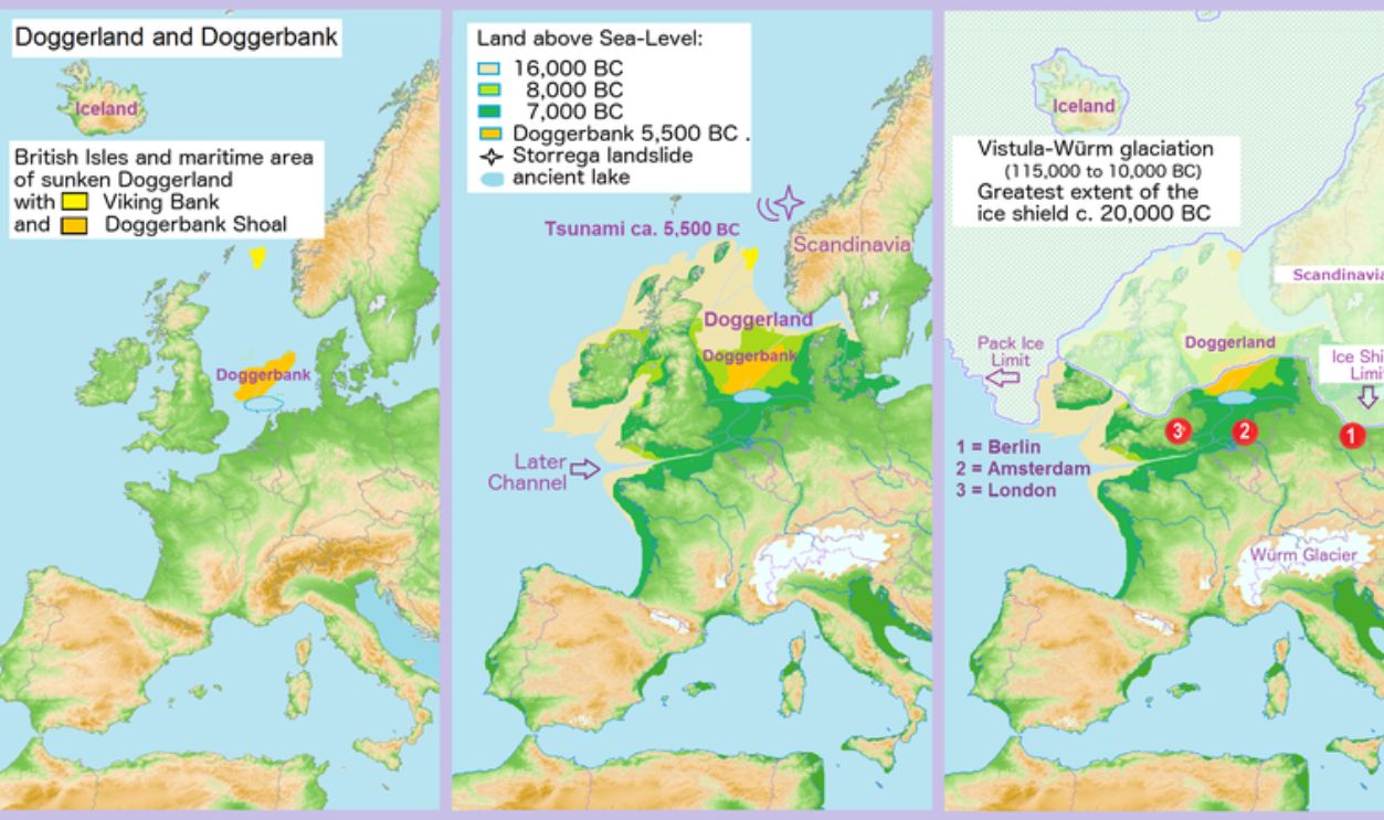
Doggerland Linked Britain To Europe
With a huge lowland plain called Doggerland that spanned from Norfolk to the Netherlands, Great Britain was a peninsula of the European continent. Herds of reindeer, European bison, and wild horses migrated across its scarcely wooded terrain.
 Francis Lima, CC BY-SA 4.0, Wikimedia Commons
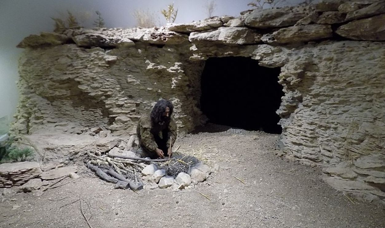
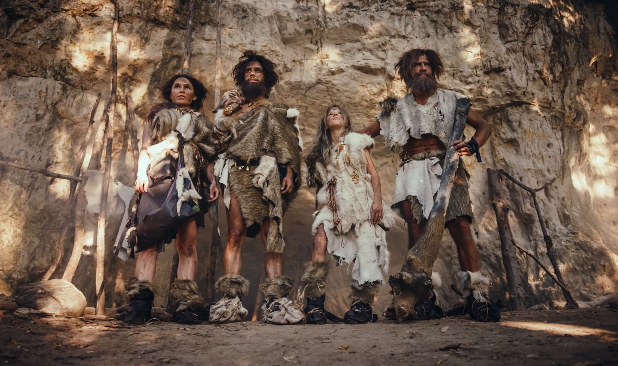
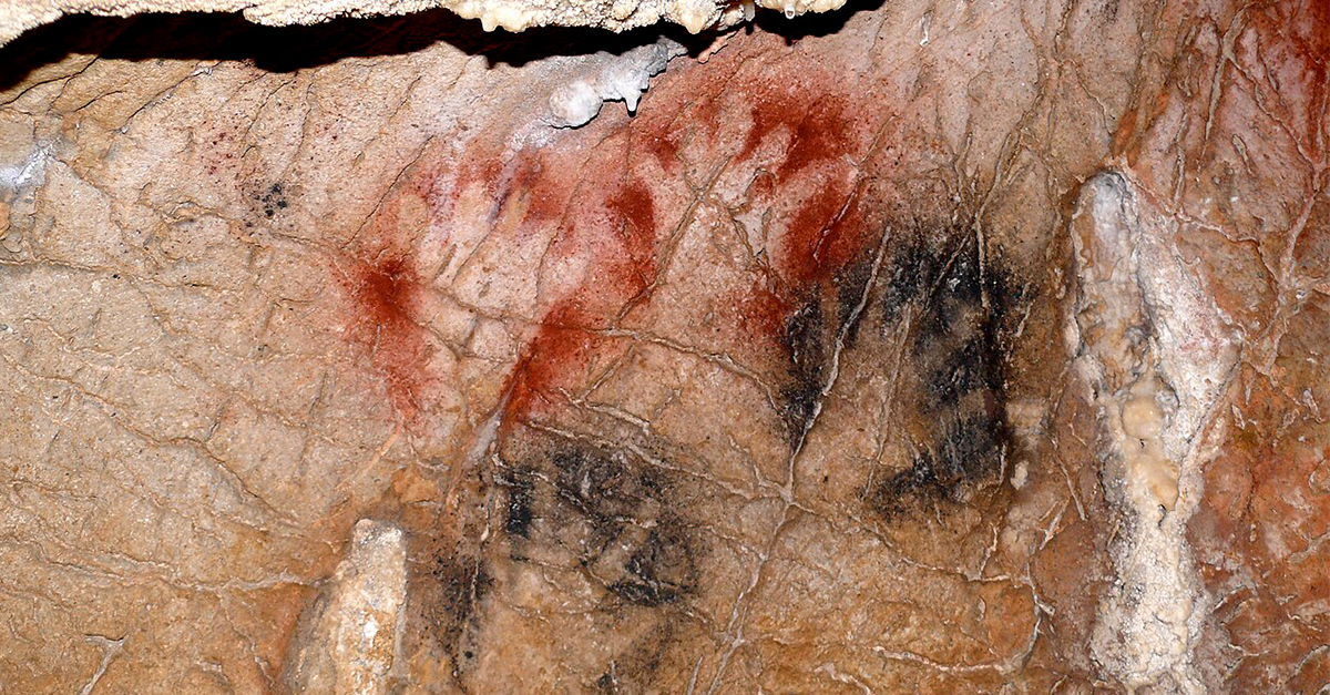
Late Upper Palaeolithic Hunters
Culturally speaking, this era, known as the Late Upper Palaeolithic, is distinguished by notable technological innovations made by the inhabitants of that era. The discovery of the Blinkerwall indicates that Palaeolithic hunters were more intentionally modifying their environment to facilitate their hunts than was previously believed.
 Cobija, CC BY-SA 4.0, Wikimedia Commons
Blinkerwall Mirrors Global Game Drive Structures
Blinkerwall has been compared to other archaeologically documented structures with a similar length and construction type that have been identified in North America, the Middle East, Canada, and Greenland. It is believed that these buildings were constructed with game drive hunting in mind.

Blinkerwall's Waterfront Location
The Blinkerwall's location next to a body of water and its resemblance to these other fortifications raised the possibility that it was built for the same reason. The lake itself may also have been used in the game drive hunting strategy.
 Mantas Volungevicius, CC BY 2.0, Wikimedia Commons
Stellmoor Evidence
Stellmoor, an archaeological site north of Hamburg, provides evidence for this interpretation and dates to the period when the Blinkerwall may have been built. The site is situated at the end of a thin valley where thousands of reindeer bones were discovered to be preserved in the ancient lake sediments.
 Aufbacksalami, CC BY-SA 4.0, Wikimedia Commons
Hunting Strategies And Blinkerwall's Planning
Hunting evidence at Stellmoor shows reindeer were driven into the lake and shot. It also demonstrates how the topography was utilized to the hunters' benefit. Evidence that the Palaeolithic humans advanced this degree of cooperation and planning can be found in the Blinkerwall building.
 Colin Canterbury/US Fish and Wildlife Service, Wikimedia Commons
Large-Scale Hunting Structure
It demonstrates how well they were able to recognize and comprehend their prey's instincts, which allowed them to forecast their movements and how they would respond to an artificially created barrier such as the Blinkerwall. This large-scale hunting structure is a rare find in Europe.
Early Hunter-Gatherer Tribes
In addition to the feature's antiquity, the proposed chronology and functional interpretation of the Blinkerwall make it an exciting find since it may help in comprehending the subsistence patterns of early hunter-gatherer tribes, especially in their socioeconomic complexity.
Re-Evaluating Early European Societies
Apart from a fascinating look into prehistoric life, the Blinkerwall could also lead to a re-evaluation of our understanding of early European societies, which could be more advanced than previously thought, as per the researchers.
Insights From Blinkerwall
The Blinkerwall gives new insight into the smart hunting techniques used by people at the end of the last Ice Age—methods still used in different places today. More discoveries about these ancient strategies are likely to come.
 National Oceanic and Atmospheric Administration, Wikimedia Commons


